

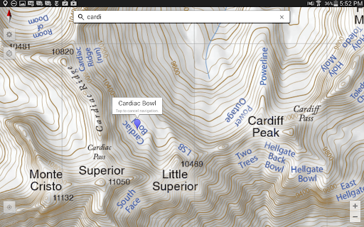
Overview of the Wasatch Backcountry Skiing Map
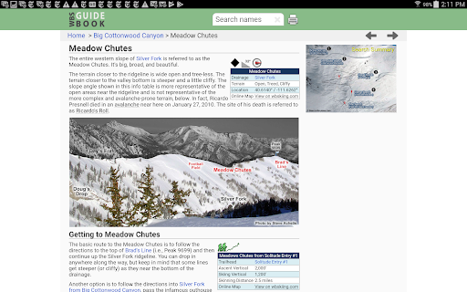
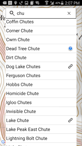
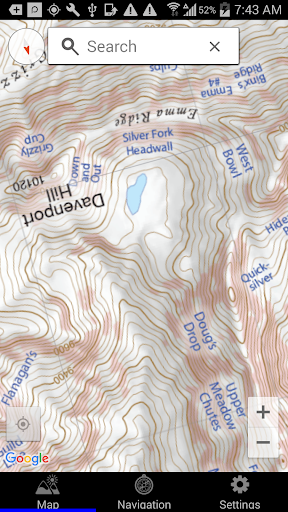
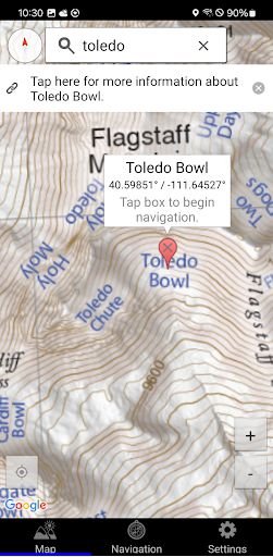
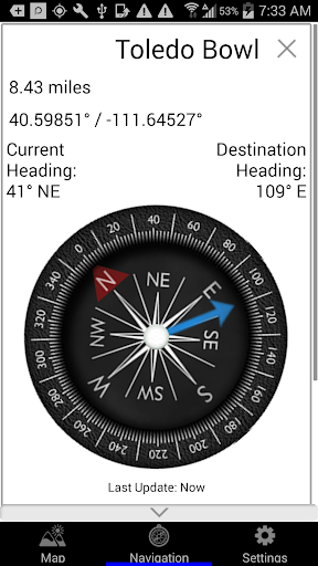
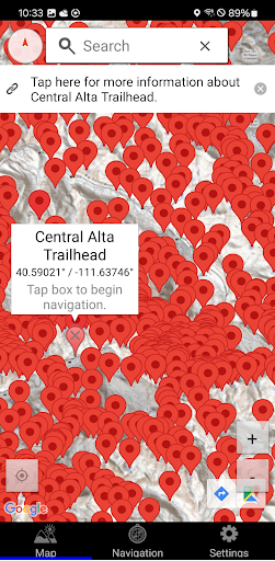
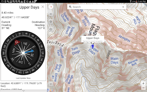
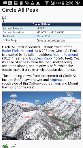
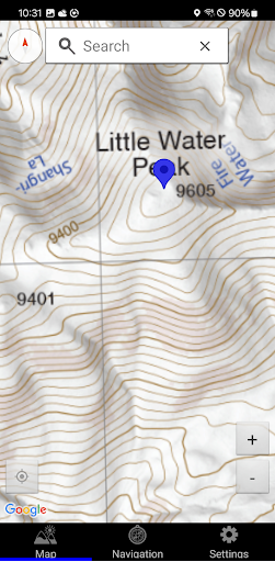
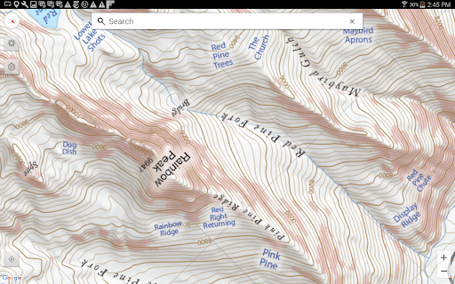
The Wasatch Backcountry Skiing Map (WBSkiing) is a powerful mobile application designed for outdoor enthusiasts exploring Utah’s renowned Backcountry Skiing areas. Available on Android devices, this app serves as the digital companion to the popular paper maps and the comprehensive website found at WBSkiing.com. Covering over 1,000+ backcountry locations across Utah’s Central Wasatch mountains, the app is an indispensable tool for Utah hikers, backcountry travelers, and ski enthusiasts seeking safe and informed adventures. Its intuitive interface makes navigation seamless, even for those new to the area or to digital mapping tools. The app grants access to high-resolution topographical maps, which display key features such as terrain slopes, elevation data, and avalanche-prone areas, with reddish shading indicating slopes of approximately 30 degrees or steeper—critical information for avalanche safety. With GPS integration, users can pinpoint their current location, view vital altitude and coordinate data, and easily identify their position relative to the surrounding terrain, all without requiring cell service or internet connection. Additionally, the app links numerous backcountry spots to WBSGuide.com, providing detailed information on each location’s difficulty, skinning distances, vertical climb, parking options, and more. Whether reviewing routes before a trip or navigating on the fly, WBSkiing empowers users to plan and execute their backcountry adventures with confidence and safety. Its offline capabilities ensure reliable performance in remote areas, making it a must-have for anyone exploring Utah’s mountainous backcountry. The inclusion of an email feature for sharing current location enhances coordination efforts among groups or emergency contacts, adding an extra layer of safety to your outdoor pursuits.
Why Skiers and Hikers Love the Wasatch Backcountry Skiing Map
For ski enthusiasts and backcountry explorers, discovering fresh terrain and accessing accurate information are essential for a memorable experience. The Wasatch Backcountry Skiing Map app is celebrated for transforming how adventurers approach Utah’s rugged mountains. Its user-friendly interface ensures that users—whether novices or seasoned backcountry skiers—can quickly get oriented. Once launched, the app’s detailed map displays trailheads, ski zones, and avalanche risk zones, giving riders the data needed to make informed choices. The real standout is its capacity for real-time snow conditions, weather forecasts, and recent avalanche reports. This vital update keeps users aware of current hazards or favorable conditions, significantly reducing risk during backcountry trips. As skiers traverse the slopes, the app records their routes, creating a dynamic ski diary that can be reviewed afterward or shared with friends, fostering an active community of backcountry skiers. Built with safety, convenience, and exploration in mind, this app highlights new trails, evaluates potential hazards, and makes planning both easy and secure. Moreover, its offline functionality allows users to navigate confidently even in areas lacking cell reception—a common challenge in remote terrains. Connecting with fellow skiers and outdoor enthusiasts via the app's community features encourages group planning and sharing tips, enriching the overall experience. It’s more than a simple navigation tool; it’s a comprehensive guide that enhances every aspect of Utah backcountry skiing and hiking adventures. Whether you’re seeking to improve route safety, discover new skiing lines, or simply enjoy seamless navigation in the mountains, the WBSkiing app stands out as a vital resource. Its combination of detailed maps, hazard warnings, offline use, and community features makes it a must-have for anyone venturing into Utah’s Central Wasatch Range. Prepare with confidence and explore new slopes—this app is your trusted partner for backcountry success and safety.
Pros
- Comprehensive trail coverage for precise navigation
- Offline maps available for regions without cellular service
- Regular updates featuring new trails and functionalities
- Intuitive interface improves user experience
- Access to detailed topographic information
Cons
- Limited to the Wasatch region
- Restricts broader usage
- Requires storage space for offline map data
- Full feature access requires a subscription
- Interface might appear cluttered to new users
- Does not include real-time weather updates











