


Discover the Power of Street View Live 3D GPS Map
Imagine having a personal tour guide right in your pocket, ready to take you anywhere in the world with ease and clarity. Street View Live 3D GPS Map is a cutting-edge navigation app that combines immersive 3D street view, real-time GPS directions, and dynamic map features to enhance your travel experience. Whether you're exploring new cities, planning trips, or just want to know what's around you, this app transforms your mobile device into a comprehensive navigation companion.
Main Features of Street View Live 3D GPS Map
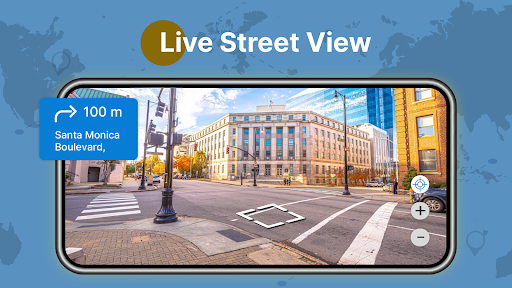
Live Street View & 3D World Exploration
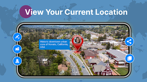
With vibrant live street view, you can wander through the bustling streets of Tokyo, admire the historical charm of European cities, or relax on the sunny beaches of Hawaii—all from the comfort of your home. The 3D map interface provides realistic terrain visuals, allowing users to virtually walk around any geographic location. This feature is a visual delight and offers a practical perspective, especially when planning outdoor activities like hiking or trekking in unfamiliar terrain.
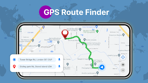
Dynamic Route Planner & Navigation
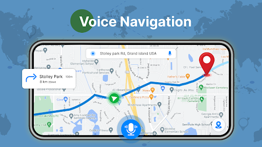
Planning a trip? The app’s route planner helps you chart the quickest or most scenic routes to your destination. It offers HD images of landmarks and places, making trip visualization easier. Real-time traffic updates ensure you avoid congestion, while voice-guided navigation keeps your focus on the road. You can effortlessly find the distance between your current location and your destination, enabling smarter decision-making on the go.
Real-Time Satellite & Earth Maps
Explore any area with the live satellite map feature. You can access current views of your surroundings to confirm your location or explore new areas remotely. The earth street view provides a real-time glimpse of your locale, giving you 360-degree perspectives that boost confidence during navigation, whether you’re driving or walking.
Search, Share & Emergency Location
Easily search for nearby places, shared locations with friends and family, or find the Qibla direction for prayer through an integrated compass. The app’s location finder becomes invaluable during emergencies, helping you determine your exact position and locate nearby emergency stations quickly.
Multilingual Support & Country Data
The interface supports multiple languages to cater to a global audience. It also provides country information such as time zones, giving travelers additional data to plan their activities worldwide.
Why Street View Live 3D GPS Map Stands Out
This app is more than just a standard navigation tool. Its sleek design, accurate GPS tracking, and robust visual features make it essential for travelers, explorers, or anyone wanting a reliable digital guide. With live traffic updates, users can dodge traffic jams and save valuable time. The multiple color schemes and customizable options allow for a personalized experience. The inclusion of world clock functionality adds convenience for international users.
Conclusion
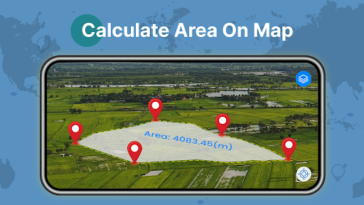
Whether you’re wandering through city streets via immersive street view, planning your next road trip with live route guidance, or searching for nearby landmarks, Street View Live 3D GPS Map offers a comprehensive, user-friendly platform to explore and navigate the world. Its innovative features—such as 3D terrain views, live traffic, and integrated Qibla compass—make it a must-have for modern explorers. Download now and unlock a new way to see and experience the world around you.
Pros
- Offers real-time street view updates.
- User-friendly interface and easy navigation.
- Accurate GPS positioning and timely updates.
- Supports visualization in 3D maps.
- Provides extensive global coverage.
Cons
- Consumes a large amount of data when streaming.
- Quick battery drain during usage.
- Limited offline capabilities.
- Sometimes experiences delays in loading maps.
- Needs a reliable and strong internet connection.











