

Savvy Navvy Boating Navigation: Feature-Focused Blog Description
Savvy Navvy is an all-in-one boating navigation app designed for sailors, powerboaters, fishing enthusiasts, and paddlers. Whether you’re planning a voyage on the ocean, a lake, or inland waterways, Savvy Navvy streamlines route plotting and situational awareness, so you can navigate with confidence. With clean nautical charts, active GPS tracking, marine weather forecasts, AIS, tidal data, and more, this app aims to replace multiple tools with a single, intuitive solution for marine navigation.
All-in-One Navigation for Every Boater
Experience clutter-free nautical charts that cover oceans, lakes, and inland waterways. The maps are licensed from reputable hydrographic offices such as NOAA, ensuring trusted digital navigation data you can rely on. Savvy Navvy brings together essential navigation features in one place, so you don’t have to toggle between different apps.
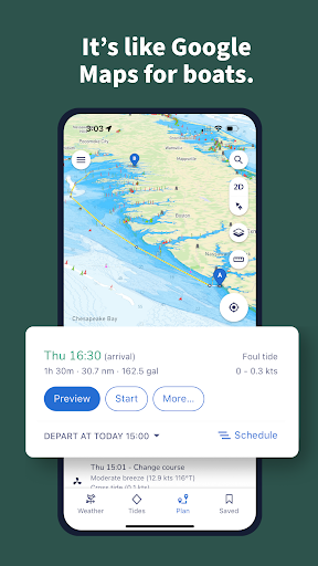
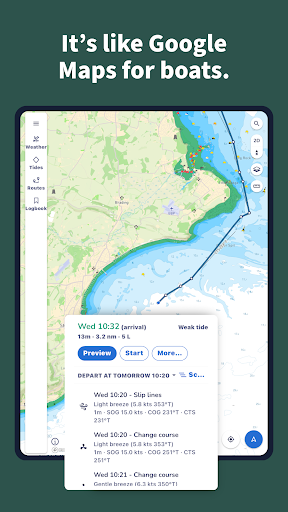
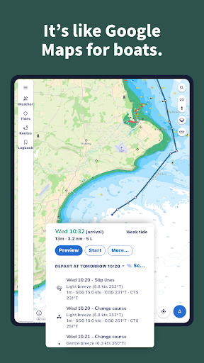
Smart Route Planning makes plotting courses effortless. It provides an automatic Course to Steer, factoring in tide, weather, and chart data, and includes a departure scheduler to determine the best time to leave with a live ETA. It’s like carrying a pocket chart plotter—perfect for sailing, fishing trips, or exploring on a powerboat.
Real-Time Tools for Confident Navigation
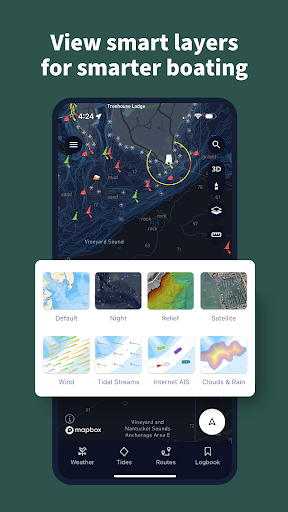
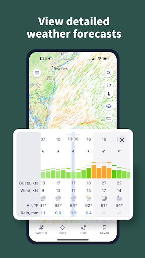
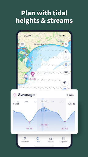
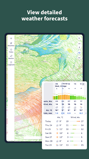
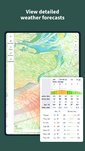
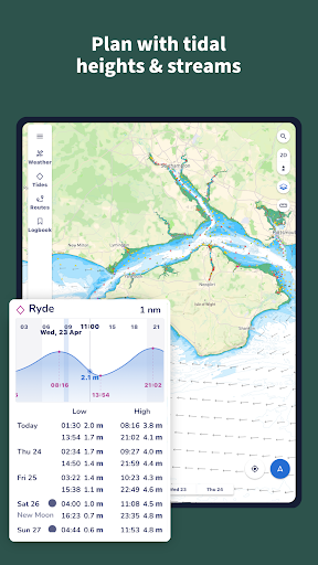
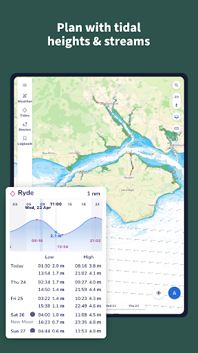
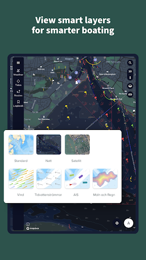
The app functions as a real-time boat GPS tracker, offering live positioning and the ability to record and share routes. Marine weather forecasts let you scroll through the coming days to view wind direction and intensity, with cloud and rain overlays to help you anticipate squalls. Tides and currents are front and center with real-time tide charts and a tidal graph for quick highs and lows throughout the day.
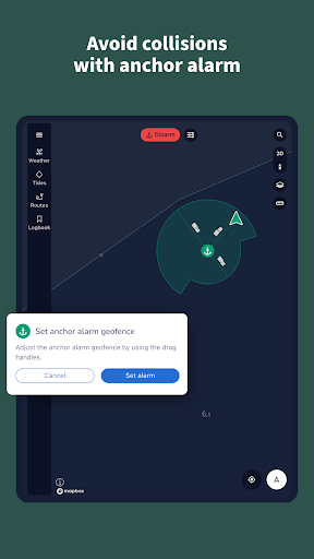
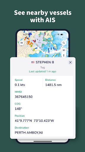
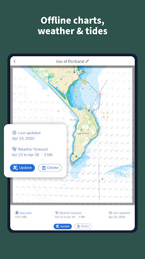
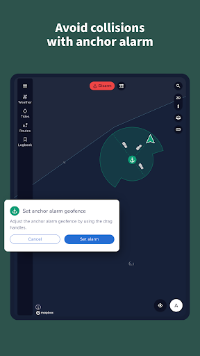
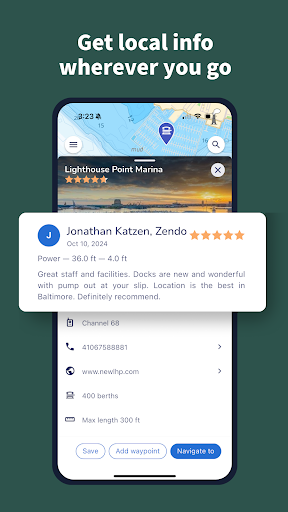
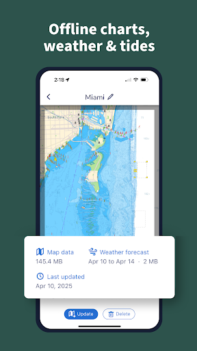
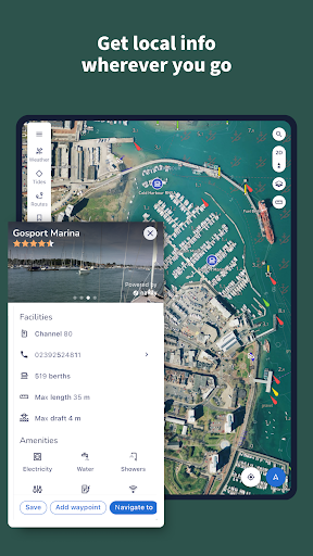
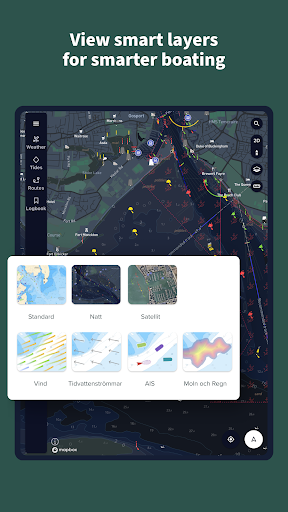
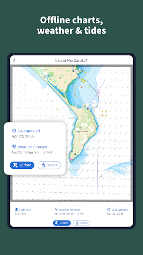
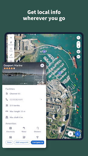
With AIS data for safe, collision-aware navigation and an anchor alarm to keep you secure at anchor, Savvy Navvy supports informed decisions on the water. The Waterway Guides integration provides essential marina and anchorage information, including seabed details and amenities, while avoiding listing specific contact details. Sync across up to five devices—tablets and phones alike—and download maps for offline use so you stay covered even off the grid.
All-In-One Convenience: Why It Stands Out
Savvy Navvy is trusted by millions of boaters worldwide and combines features you’d typically find across multiple apps into one user-friendly platform. It’s regularly updated with official nautical charts and live weather data, with a free version available to explore before upgrading for full access. This consolidation makes it easier to plan smarter, safer voyages without juggling several subscription services.
Who Should Use Savvy Navvy?
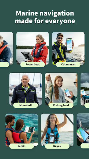
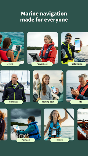
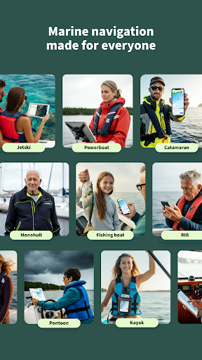
Sailors will benefit from smarter route planning with integrated wind, weather, tidal, and depth data, plus a scheduler to minimize engine time. Powerboaters gain from GPS tracking, fuel estimation, and detailed marina and anchorage perspectives. Fishing enthusiasts can access fishing maps and depth information, import favorite spots, and rely on the anchor alarm while angling. The app also fosters a community feel with user reports and updates, helping every boater stay informed about waterways and conditions. Offline access ensures navigation remains reliable when signals are unavailable.
Getting Started with Savvy Navvy
Whether you’re a first-time navigator or an experienced skipper, Savvy Navvy offers a free version to explore before upgrading. Download Savvy Navvy to start charting smarter routes, tracking your vessel in real time, and enjoying reliable marine weather, tides, and AIS data on a single, powerful platform.
Pros
- User-friendly interface for easy navigation.
- Comprehensive weather forecasts included.
- Real-time tide and wind data.
- Cross-platform functionality for Android and iOS.
- Detailed nautical charts available.
Cons
- Requires subscription for full features.
- Limited offline functionality.
- Occasional GPS inaccuracies.
- High battery consumption.
- Some features need internet access.











