
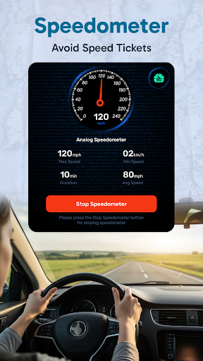
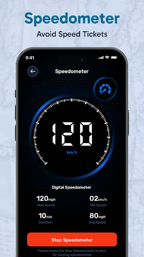
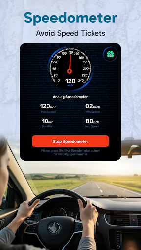
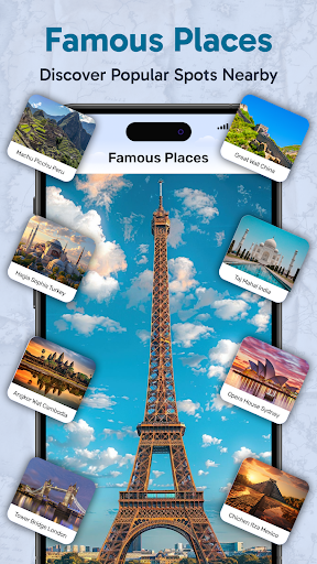
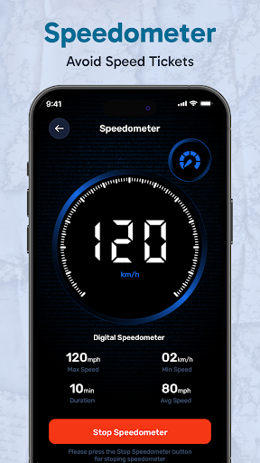
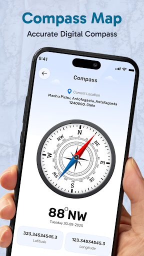
Satellite View: Live Earth Maps - Explore the World Virtually
Have you ever imagined exploring the planet without leaving your couch? With Satellite View: Live Earth Maps, that dream becomes a reality. This innovative app brings the entire world right to your fingertips, offering a seamless blend of satellite imagery, real-time data, and interactive features. Whether you're a travel enthusiast, a geography buff, or simply curious about different locations around the globe, this app is designed to cater to all your exploration needs.
Discover the Power of Live Earth Maps
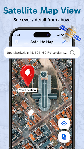
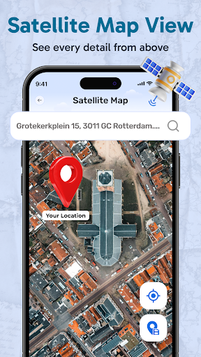
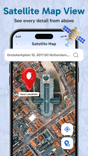
Satellite View offers high-resolution images that allow you to zoom into any corner of the world, providing an immersive experience. From bustling cityscapes to tranquil natural landscapes, the app provides real-time satellite imagery that enables you to explore the planet like never before. Planning a trip? Curious about a destination? Or just eager to learn more about your surroundings—this app has you covered.
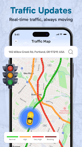
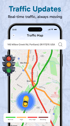
Key features include 3D terrain views of cities and mountains, giving you an accurate sense of elevation and landscape. The live street view feature helps you virtually walk the streets and see landmarks from ground level. With integrated traffic data, you can check current road conditions, making it an excellent tool for travelers and commuters alike. Additionally, the app offers weather overlays to inform you about current weather conditions worldwide, perfect for outdoor planning or simply satisfying your curiosity.
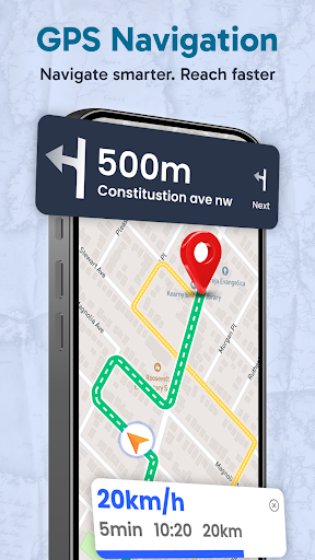
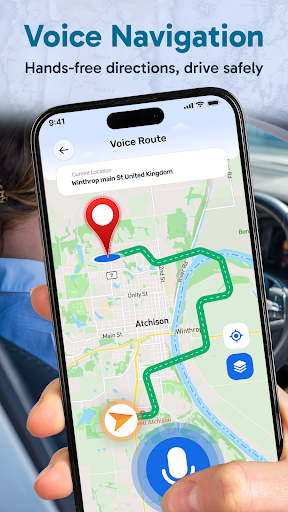
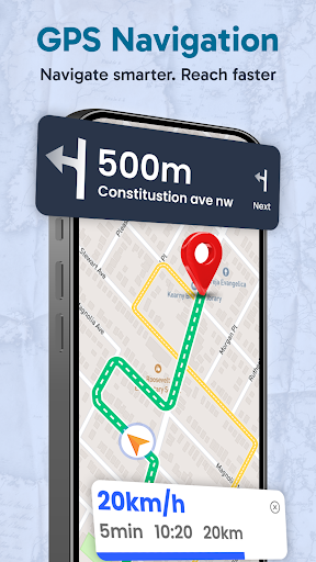
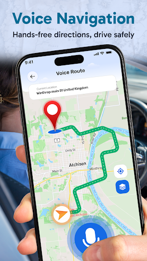
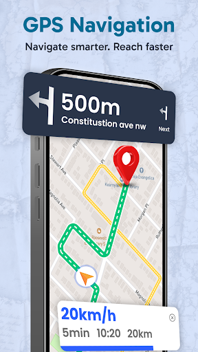
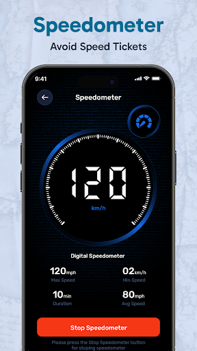
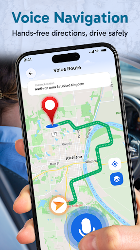
Furthermore, live GPS location tracking assists users in navigation, whether walking, biking, or driving. The app supports voice navigation, guiding you to your destination with turn-by-turn directions. For photography enthusiasts, the GPS camera feature allows you to capture images with embedded location, date, and time details, helping you preserve memories with geographic context.
Overall, Earth: Satellite View is a comprehensive platform combining satellite imagery, live mapping, and navigation tools designed for explorers who want to see the world from all angles, anytime and anywhere.
Standout Features of Satellite Map & Live Earth Maps
This application is packed with features that enhance your virtual exploration experience:
- Earth Map Satellite and Route Finder: Instantly locate your position and get directions. Its GPS road map ensures you find the quickest routes whether traveling by car, bike, or on foot.
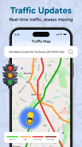
- Real-Time Traffic Updates: Stay informed about current road conditions to avoid congestion.
- 3D City and Mountain Terrain: Enjoy a realistic view of the terrain, perfect for planning outdoor adventures or understanding geographical features.
- Live Street View: Explore neighborhoods and landmarks at street level, ideal for virtual tours and trip planning.
- Weather Overlays: Check current weather conditions globally, useful for outdoor activities or travel preparation.
- GPS Camera with Satellite View: Capture geotagged photos, recording location and timestamp data to keep your memories organized and meaningful.
This app is highly usable worldwide, providing live satellite data that updates in real time, making it a versatile tool for explorers and travelers across the globe.
Seamless User Experience and Practical Use
The interface of Satellite View: Live Earth Maps is designed to be intuitive, ensuring easy navigation even for beginners. Searching for specific locations—cities, streets, landmarks—is quick and efficient, thanks to intelligent search functions. Loading times are optimized for speed, so users can explore without frustrating delays.
For travelers, the app serves as an essential navigation companion. Its accurate route-finding and GPS directions help ensure a stress-free journey, whether you're walking through a new city or driving on unfamiliar roads. The GPS map camera feature adds a layer of convenience for documenting your travels, capturing images with embedded geolocation data.
Despite its many strengths, occasional lag may occur when viewing highly detailed maps or when internet speeds are slow. Nevertheless, the overall experience remains smooth, making it a valuable tool for all outdoor and virtual explorations.
In summary, Satellite View: Live Earth Maps combines practical navigation, detailed imagery, and real-time data, catering to those eager to explore our planet from their mobile devices. It turns static maps into interactive journeys—bringing destinations, landmarks, and natural wonders to life.
Why You Should Download and Use This App
Whether you're planning your next adventure, satisfying your curiosity about distant places, or simply love exploring new terrains from afar, Satellite View is a must-have app. It offers a unique mix of satellite imagery, live mapping, and navigation tools that make exploring the world both practical and fun.
Enjoy the ability to zoom into landmarks, see 3D terrain views, and get real-time updates on traffic and weather—all within a single app. The integration of GPS features ensures your journey's safety and accuracy, while the immersive satellite imagery helps you discover new places virtually before visiting physically.
In short, if you're enthusiastic about exploring, traveling, or simply learning more about our planet, download Satellite View: Live Earth Maps today. Embark on a virtual journey around the globe and uncover new destinations—one swipe at a time.
Pros
- Provides real-time satellite imagery.
- Easy navigation with an intuitive interface.
- Offers street, terrain, and hybrid views.
- Includes weather overlay for forecasts.
- Frequent updates with new data.
Cons
- High data usage on mobile networks.
- Limited offline map access.
- Occasional delays in loading images.
- Some features require in-app purchases.
- May consume battery quickly.











