
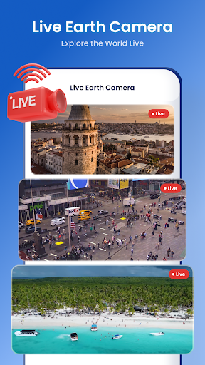
Satellite View: Your Ultimate Travel and Exploration Companion
Imagine having a personal satellite in your pocket that offers a stunning bird’s-eye perspective of the world around you. The Satellite View app is designed to do just that—bringing powerful navigation and weather tools into a single, easy-to-use platform. Whether you're a seasoned explorer, a travel enthusiast, or simply curious about the landscape, this app transforms your device into an invaluable tool for geographical discovery and travel planning.
Key Features of Satellite View
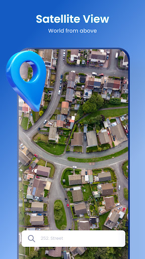
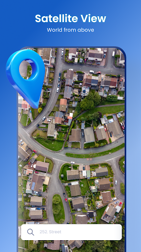
✔️ Satellite View ?️
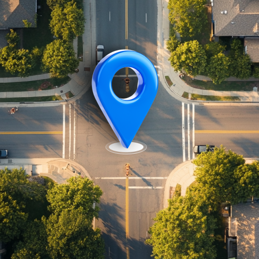
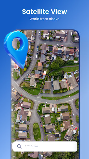
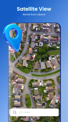
Discover the beauty and diversity of our planet with high-resolution, detailed satellite imagery. The Satellite View feature allows you to explore landscapes, urban environments, and landmarks from above as if using a personal satellite. Whether checking out famous monuments or remote natural wonders, this feature provides an immersive experience, making it ideal for travel planning, education, or casual curiosity.
✔️ Radar ?️
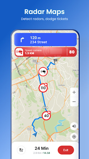
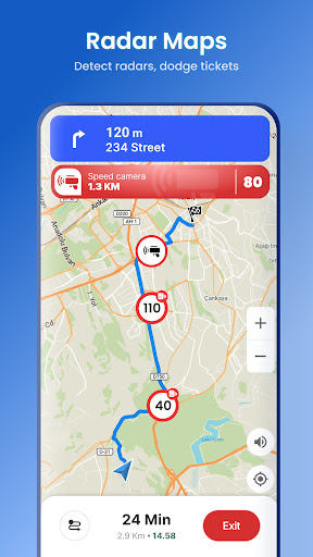
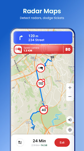
The advanced Radar module keeps you informed about real-time weather conditions. Track precipitation, storms, and weather patterns to plan your outdoor adventures confidently. Whether you're hiking, biking, or heading out on a road trip, staying updated on weather changes ensures safety and preparedness.
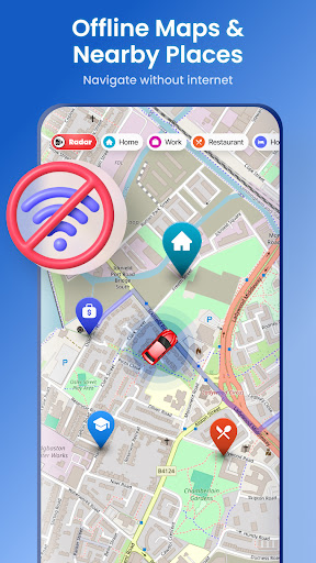
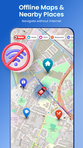
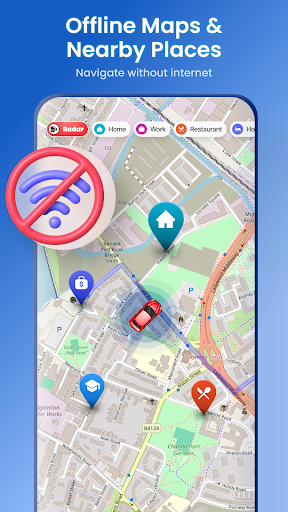
✔️ Offline Maps ?️
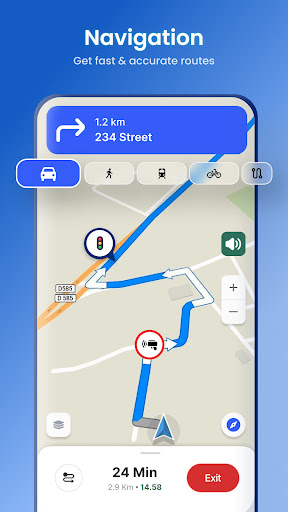
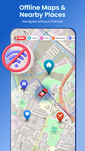
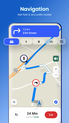
Never get lost even without an internet connection with downloaded offline maps. This feature is perfect for remote explorations, international travel, or saving on data costs—ensuring you always have access to navigational aid whenever you need it.
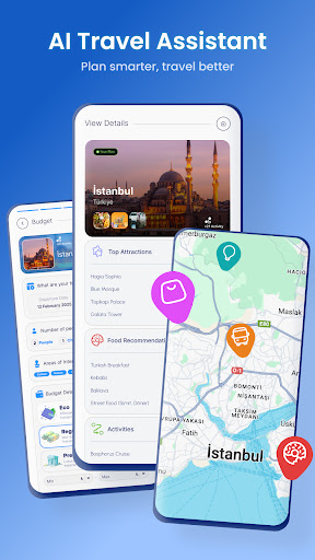
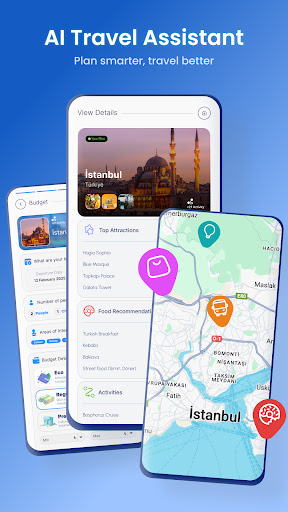
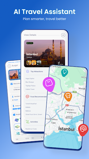
✔️ AI Travel Assistant
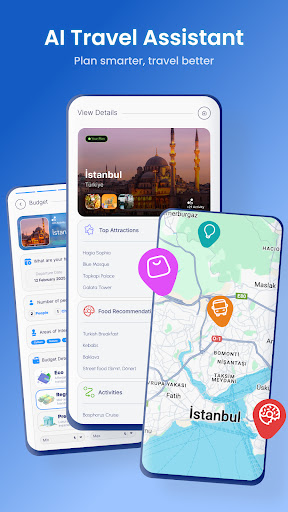
The built-in AI Travel Assistant offers personalized trip suggestions, route optimization, and activity ideas. This smart feature adapts to your preferences, making it easier for solo travelers or families to plan their day, discover hidden gems, and organize their itinerary efficiently. With AI-powered insights, every journey becomes smarter and more enjoyable.
✔️ Saved Locations ?
Quickly mark and access important destinations or waypoints on the map. Ever wanted to revisit a scenic spot or save a meeting point? The Saved Locations feature streamlines this process, making trip management simple and effective.
✔️ Speedometer ?♂️
Monitor your speed in real-time—an essential tool for bikers, hikers, or drivers concerned with safety. The Speedometer helps you stay aware of your pace, ensuring safer and more controlled journeys.
✔️ Compass ?
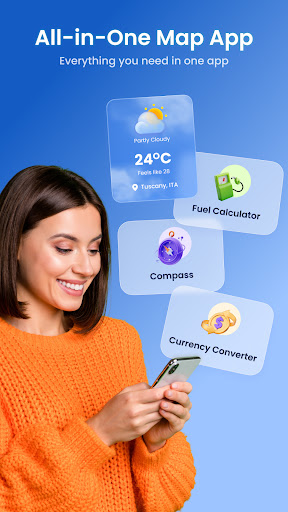
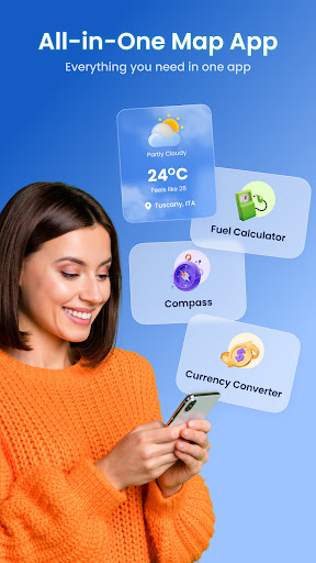
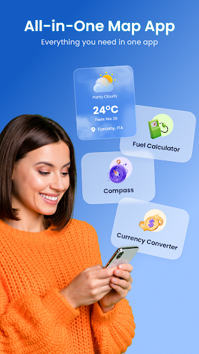
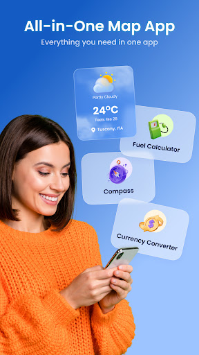
Keep your bearings with a reliable digital Compass. Whether navigating through unfamiliar terrain or exploring new cities, this feature guarantees you stay on the right path.
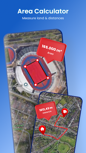
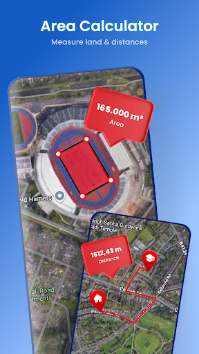
✔️ Area Calculator ?
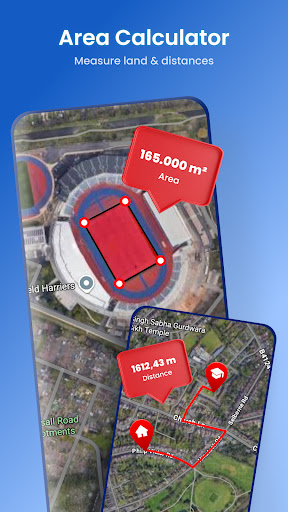
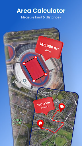
Measure distances and determine land areas directly on the map. Ideal for outdoor enthusiasts, land surveyors, or anyone interested in geographic measurements, the Area Calculator adds practical functionality to your exploration toolkit.
Why Satellite View is the Must-Have App for Explorers
ever found yourself lost in a new city or wilderness, wishing you had a bird's-eye view of your surroundings? The Satellite View app solves this problem by providing up-to-date satellite imagery right at your fingertips. Think of it as a personal aerial perspective, offering a comprehensive way to explore the world from above without leaving your home. This makes it an exceptional tool for travel planning, geographical education, and outdoor adventures.
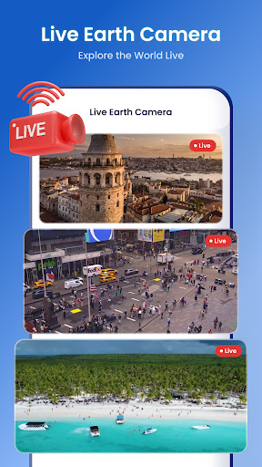
Getting started is effortless, with availability on both Android and iOS devices. Once installed, the user-friendly interface welcomes you with a world map that you can zoom in and out of effortlessly. The clarity of the satellite images is truly impressive, allowing you to distinguish cityscapes, natural formations, and landmarks clearly, making your exploration engaging and enlightening.
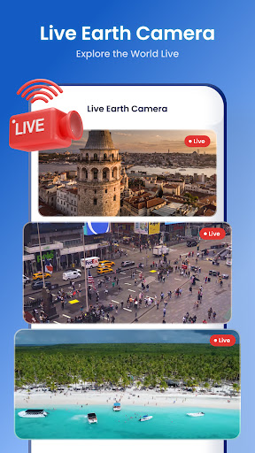
One of the most appealing aspects of the Satellite View app is its real-time image updates, ensuring you see current imagery of your chosen locations. You can even save favorite views for quick access later. This flexibility enhances your ability to plan trips, study geography, or satisfy your curiosity about distant places.
This app not only fuels adventure and discovery but also serves educational purposes—encouraging learning about different terrains, cities, and natural features. Whether you’re plotting routes, exploring new countries, or simply indulging your curiosity about the vastness of our planet, Satellite View makes every experience immersive and insightful.
In today’s world where travel might often be limited, having a comprehensive virtual tool like Satellite View expands your horizons. It’s perfect for anyone eager to explore the earth’s diverse landscapes, understand geographic features, or prepare for future adventures—all from the comfort of your device. So, why wait? Download Satellite View today and embark on a limitless journey of discovery right from your pocket.
Pros
- High-resolution imagery available.
- Real-time satellite tracking.
- User-friendly interface.
- Offline viewing capabilities.
- Frequent updates with new data.
Cons
- High battery consumption.
- Requires a stable internet connection.
- Limited features in free version.
- Large app size.
- May have occasional lags.











