

The Regrid Property App – Unlocking Land and Property Data at Your Fingertips
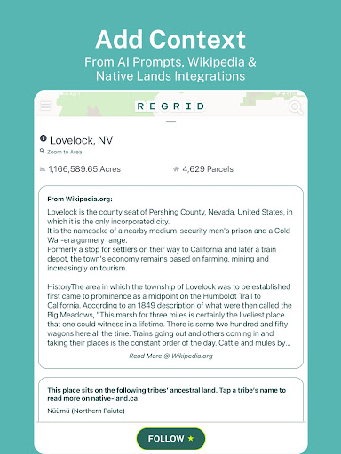
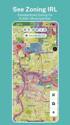
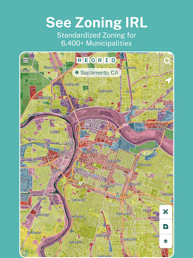
Loved by millions, The Regrid Property App is a sophisticated map-based solution designed to give users access to an extensive world of land and property information right from their smartphones. With coverage of over 157 million parcels across more than 99% of the U.S. population, this app serves as an invaluable tool for property enthusiasts, real estate professionals, and casual explorers alike. Whether you're searching for parcel boundaries, property ownership details, or zoning classifications, Regrid transforms complex land data into user-friendly visualizations and accessible information.
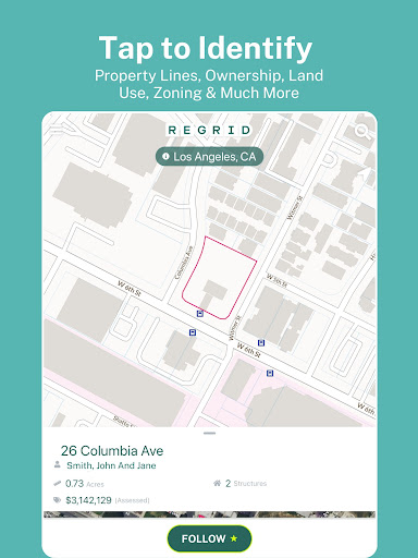
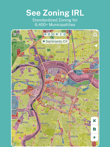
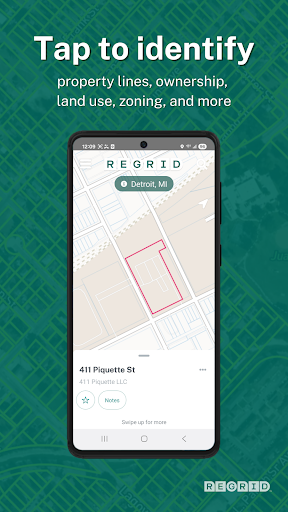
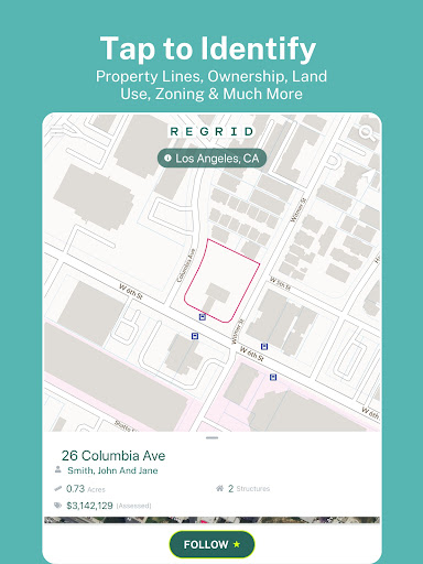
By simply tapping on a property within the app, users can effortlessly view a wealth of detailed data, including lot lines / boundaries, APN/Parcel ID, Regrid UUID, property address, owner information, and property size in acres or square footage. Additional data points such as sale price and date, mailing addresses, property value, land use, standardized zoning, and vacancy indicators are also available, providing a comprehensive profile of each parcel.
Features That Make Land Exploration Seamless and Informative
- Extensive Public Record Access: Enjoy unrestricted access to property boundaries and details nationwide, with no caps or time limits—simply sign up with your email.
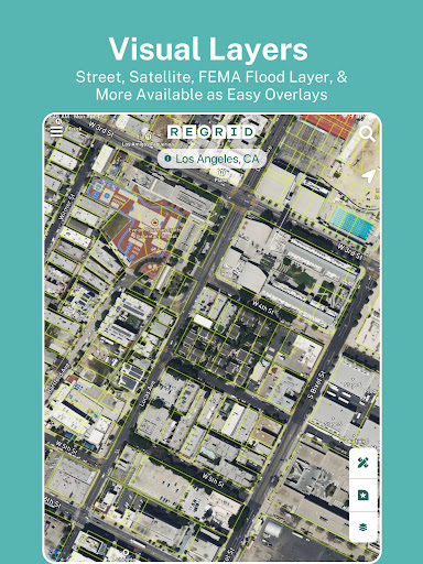
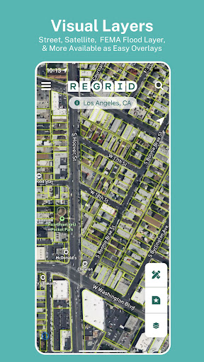
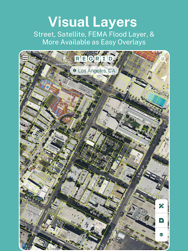
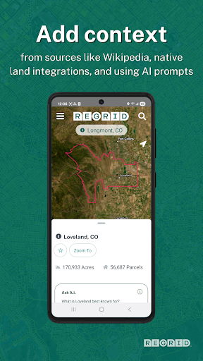
- User-Friendly Map Interface: Switch effortlessly between street view and satellite basemaps, search by address or place, and share property links easily.
- Multiple Search Options: Find properties quickly using addresses, owner names, or parcel IDs, making the app ideal for both professionals and hobbyists.
- Smart Property Finder and Landowner Explorer: Use for property searching, real estate analysis, or land ownership hunting with pinpoint accuracy.
Pro Plan Benefits – Advanced Features for Power Users
Upgrade to the $10/month Pro plan and unlock an array of advanced capabilities designed to elevate your land and real estate exploration experience:
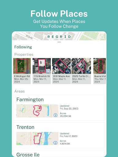
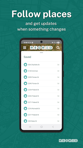
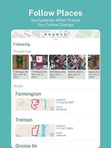
- Follow Feature: Create custom lists of properties and receive automated updates on any changes.
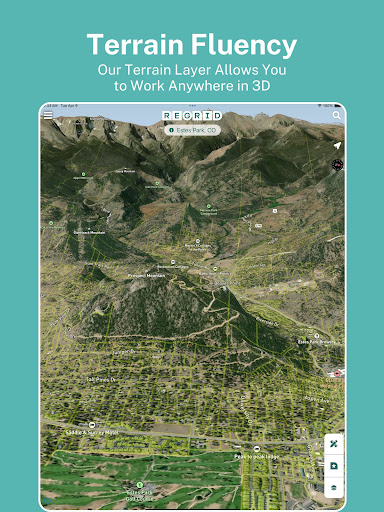
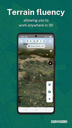
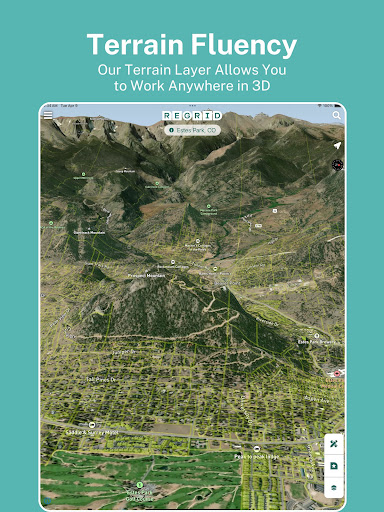
- Enhanced Basemap Layers: Explore building footprints, elevation contours, and overlay additional details directly onto the map.
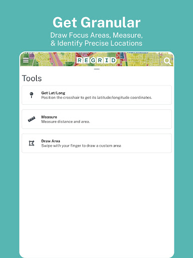
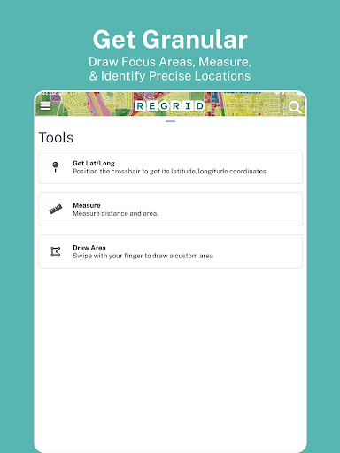
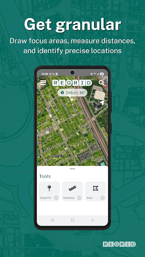
- Measurement Tools: Calculate linear distances, acreage, and square footage of selected areas with precision.
- Owner & Parcel ID Overlay: View owner names and parcel IDs directly on the map interface.
Plus, Pro users gain access to premium data fields such as vacancy indicators, detailed land use, building footprints, and residential status—perfect for detailed land analysis and planning.
Additional Mapping Tools and Resources
All Pro subscribers enjoy full access to a suite of advanced mapping tools on regrid.com. Sign up once using your login credentials, and seamlessly browse both the app and website to gather insights, plan land use, or explore properties with enriched data and visualization options.
Why Choose The Regrid Property App? A Game-Changer for Land and Property Enthusiasts
Whether you’re a real estate agent, a property investor, or simply someone eager to learn about land parcels in your area, The Regrid Property App offers unmatched access to detailed, up-to-date land data. Its intuitive design ensures even those with minimal technical experience can navigate the map effortlessly, making it an ideal tool for both professional and casual use.
The ability to save, organize, and share property lists enhances your workflow and makes tracking land ownership or investment opportunities straightforward. Moreover, regular database updates guarantee accuracy—crucial in a fast-paced real estate environment.
In summary, The Regrid Property App brings comprehensive property data into a simple, accessible mobile app. Its features empower users to explore land and property details, analyze zoning and land use, and monitor changes efficiently. Whether used for property discovery, real estate analysis, or landowner research, this app is a powerful companion that unlocks the full potential of US land data in an easy-to-understand format.
Pros
- Accurate property data
- User-friendly interface
- Comprehensive map tools
- Customizable features
- Real-time updates
Cons
- Limited offline access
- Subscription required for full features
- Occasional lag issues
- Not available worldwide
- Requires stable internet connection











