Explore the World with Earth Map Satellite
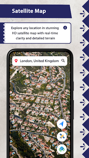
Have you ever wondered what our planet looks like from a bird's-eye view? The Earth Map Satellite app offers an incredible experience by providing high-resolution satellite imagery and real-time live street views of almost every corner of the globe. Whether you're a geography enthusiast, a traveler planning an upcoming trip, or simply curious about the Earth's diverse landscapes, this app brings the world closer to you in a way that's both immersive and educational.
Features of Earth Map Satellite
Real-Time Satellite and Street View
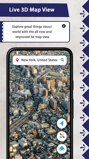
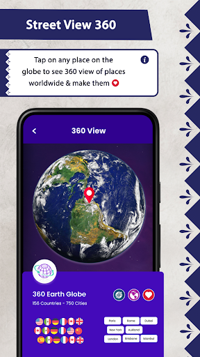
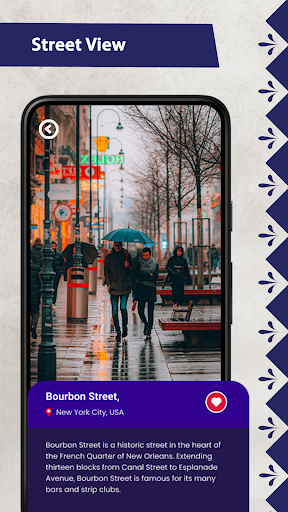
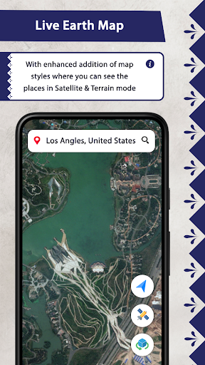
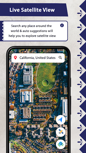
The app includes a live satellite view that displays the Earth's surface in realistic visual maps. Users can enjoy live earth cam features that showcase various locations around the world, creating an experience akin to traveling without leaving home. The integration of live earth view and street view functions enables you to explore bustling city streets, serene landscapes, or remote regions with ease.
Advanced Navigation and Search
The app offers advanced GPS map features, allowing seamless navigation. You can find directions by entering contact details, ZIP codes, or precise latitude and longitude. Whether you're planning a route by car or just exploring new places, the app makes navigation straightforward and reliable.
Live Earth Cam and Realistic Visual Maps
With categorized live earth cameras covering different parts of the world, users can select and view specific locations, enhancing their virtual traveling experience. The live earth cam feature makes you feel like you're actually there, with real-time streams and realistic visual maps. It's perfect for sightseeing, learning about geography, or just relaxing while exploring new destinations.
Specialized Tools for Travelers and Enthusiasts
The app includes tools like GPS Cam to capture moments with detailed location and time information, along with options to save, edit, and share your photos complete with latitude and longitude data. The speedometer, with both analog and digital displays, helps monitor your travel speed accurately during navigation.
Why Should You Install Earth Map Satellite?
Unlike standard mapping applications, Earth Map Satellite provides a rich, dynamic experience that combines real-time satellite imagery, live webcam streams, and advanced navigation features. The app allows users to explore the world’s night, terrain, default, and traffic views, giving a comprehensive perspective of different environments worldwide.
With capabilities like advanced earth cam, you can view various locations across the globe, mark favorites, and even share interesting spots with friends. The app's intuitive interface ensures easy navigation, even for those less familiar with technology. You can explore the world with just a few taps, making it an ideal travel companion or educational tool.
Whether you want to see storms develop, observe seasonal changes, or simply browse exotic locations, Earth Map Satellite makes that possible. Its real-time satellite tracking and live webcam features bring the Earth's surface to your fingertips, providing an engaging way to learn about geography, environmental changes, and cultural landmarks.
In Summary
The Earth Map Satellite app is more than just a map tool—it's an immersive experience that blends high-resolution satellite imagery, live street views, real-time earth cams, and advanced navigation functionalities. It bridges the gap between virtual exploration and real-world discovery, making it perfect for curious minds and travel lovers alike. Download this app today and unlock the wonders of the world from a whole new perspective.
Pros
- High-resolution satellite images.
- User-friendly navigation interface.
- Regular updates with new data.
- Availability of offline maps.
- Comprehensive terrain details.
Cons
- High battery consumption.
- Requires significant storage space.
- Limited detail in certain regions.
- Frequent advertisements in the free version.
- Slower loading on older devices.