
Discover the World with the GPS Satellite Map, Live Camera App
Are you an avid traveler, a city explorer, or someone who simply loves to navigate new places effortlessly? The GPS Satellite Map, Live Camera app offers an innovative and immersive navigation experience that combines real-time satellite views with live streaming cameras from around the globe. Whether you're venturing into unknown city streets or planning a scenic trip, this app is designed to make your journey more dynamic, informative, and fun.
Main Features of the GPS Satellite Map & Live Camera App
Real-Time Earth Camera Streaming
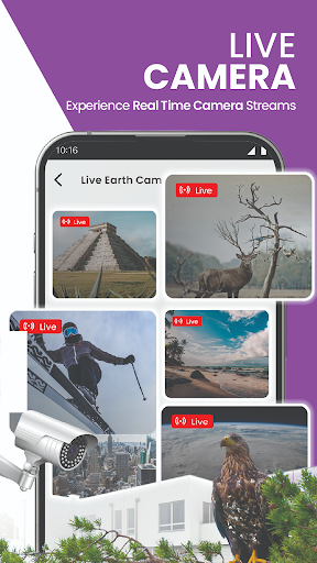
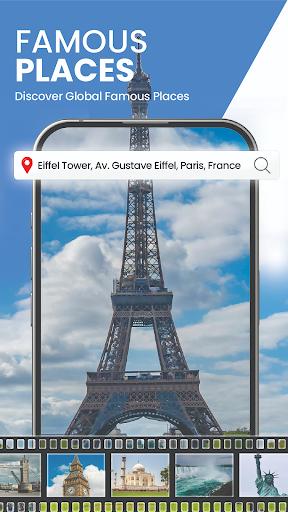
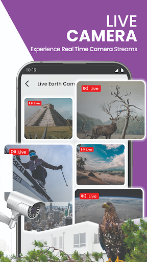
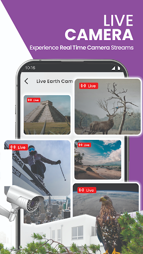
One of the standout features of this app is its live earth camera collection, which provides real-time streams from famous landmarks, bustling cityscapes, serene nature spots, and even space station videos. This feature allows users to virtually explore the world’s wonders without leaving their device. Whether checking out a popular tourist destination or keeping an eye on local traffic, live camera feeds bring the world closer to you.
Advanced Navigation Tools
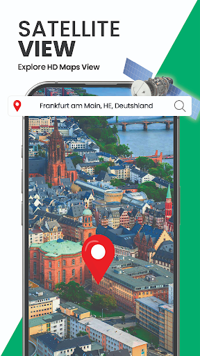
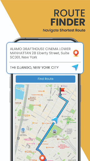
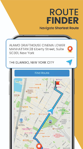
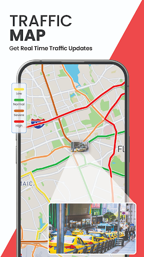
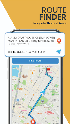
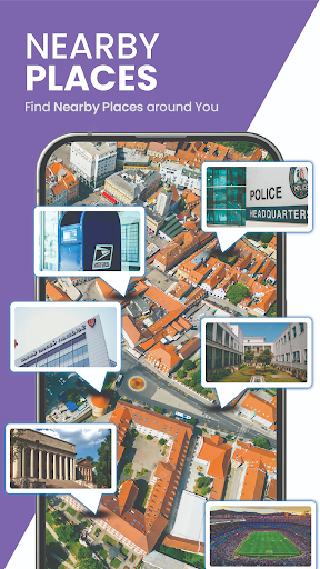
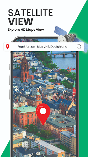
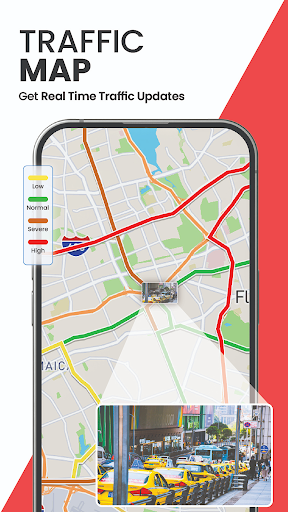
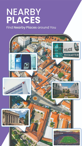
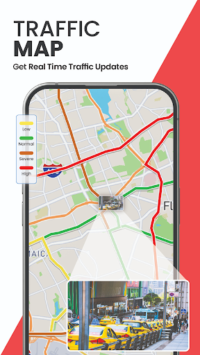
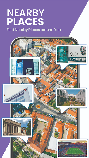
The app offers a suite of intelligent navigation tools including GPS navigation, voice-guided directions, and real-time traffic updates. You can easily find the nearest places, explore new routes, and get instant suggestions to avoid traffic congestion. The 3D satellite view provides a vivid and virtual perspective of your destination, making route planning more precise and engaging.
Explore the World Virtually
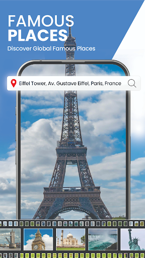
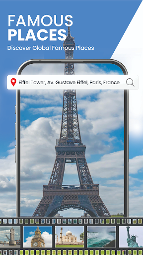
Besides navigation, this app doubles up as a virtual explorer. You can browse cityscapes, landmarks, scenic spots, and tourist destinations using live camera streams and immersive panoramic views. Planning a trip or just curious about a location? The app offers detailed views of numerous places around the world, perfect for virtual sightseeing.
Convenient Additional Features
- Route & Location Finder: Find accurate routes and nearby locations effortlessly.
- Street View & 3D Maps: Explore city streets and terrains in realistic 3D.
- Area Measurement Calculator: Measure land areas with a simple selection tool.
- Share Live Location: Easily share your real-time location with friends or family.
Why Choose the GPS Satellite Map, Live Camera App?
If you’ve ever felt lost exploring unfamiliar areas or wished for a digital guide in complex environments, this app is your perfect companion. Its intuitive interface makes navigation smooth, and the integration of live camera feeds elevates the experience beyond traditional GPS applications. You can visually verify your surroundings, making navigation safer and more engaging.
With offline map access, the app ensures you’re never lost due to poor internet connection. Download maps ahead of time to navigate even in remote locations. Additionally, the app’s real-time traffic updates facilitate smarter routing decisions, helping you save time and avoid congestion.
Whether you're planning road trips, city adventures, or virtual explorations, this app combines high-quality satellite imagery, live streams, and accurate GPS functionalities into one seamless platform. It’s perfect for travelers, explorers, and urban navigators alike who seek both practicality and immersive viewing experiences.
Experience a New Level of Navigation and Exploration
Download the GPS Satellite Map, Live Camera app today and unlock a world of innovative navigation features. From exploring the world through live earth camera streams to navigating with voice directions and viewing stunning 3D satellite maps, this app redefines what a navigation tool can be. With its comprehensive set of features designed to help you discover, explore, and navigate with confidence, it is an essential addition to your digital toolkit for travel and daily navigation alike.
Pros
- High-resolution satellite imagery.
- Real-time GPS tracking.
- User-friendly interface.
- Live camera integration.
- Offline maps available.
Cons
- Consumes significant battery life.
- Requires internet for updates.
- Some features are premium.
- Advertisements present in the free version.
- Limited customization options.











