




Discover the Power of LandGlide GPS Property Finder
Are you curious about who owns that mysterious piece of land passing by your daily route? Or are you a real estate enthusiast constantly searching for new investment opportunities? LandGlide is the ultimate GPS property finder app designed to provide detailed property and parcel data right at your fingertips. With its extensive coverage and user-friendly interface, LandGlide transforms your device into a powerful tool for land and property exploration across the United States.
How LandGlide Works
Sleek and Easy-to-Use Interface
Available for both Android and iOS, LandGlide can be easily downloaded from the Google Play Store or Apple App Store. Once installed, the app welcomes users with a sleek, intuitive design that makes property exploration straightforward even for beginners.
Precise GPS Integration
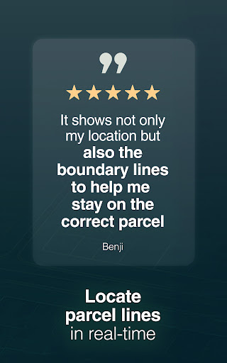
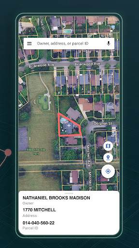
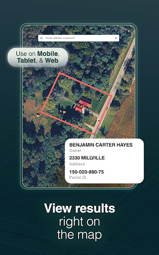
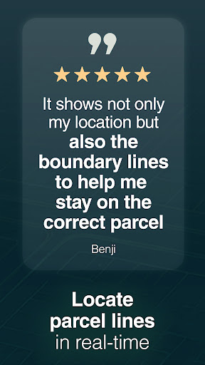
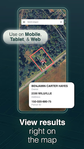
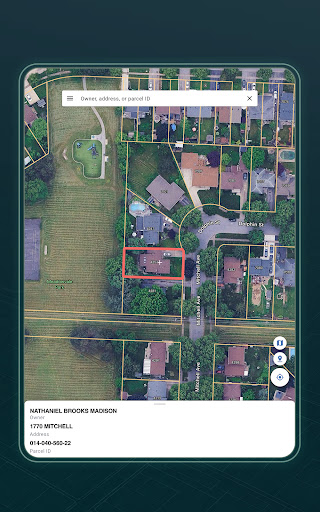
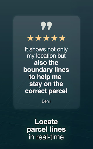
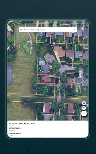
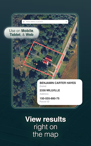
The app’s GPS features allow you to pinpoint your current location accurately and access parcel data for surrounding properties. Whether walking through neighborhoods or exploring rural areas, LandGlide helps you identify property lines, owner information, and other vital property details instantly. Hovering over a property reveals a comprehensive snapshot, all without needing to leave the app.
Robust Property Search Capabilities
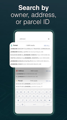
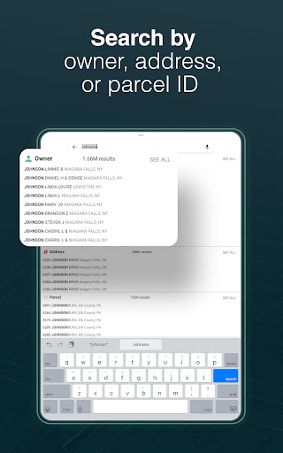
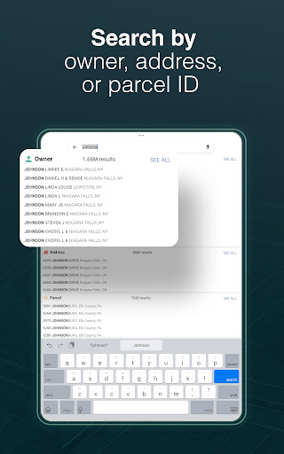
Searching for land or homes is effortless with options to search by owner name, address, or parcel number. The app’s extensive database contains over 158 million parcel records across more than 3,200 counties—covering over 99% of the U.S. population. This comprehensive data makes LandGlide an invaluable resource for real estate professionals, homeowners, or land buyers.
Features That Make LandGlide Stand Out
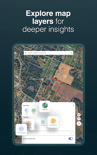
In-Depth Parcel Data & Mapping
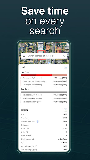
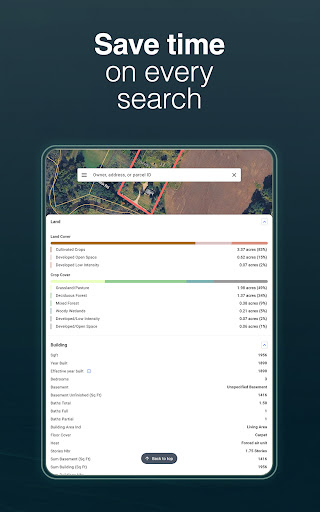
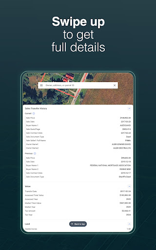
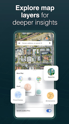
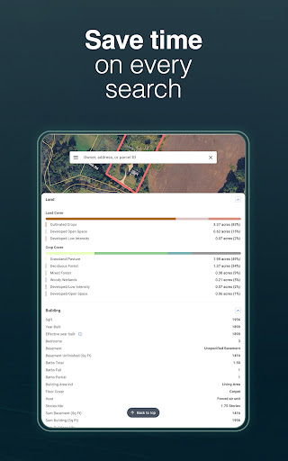
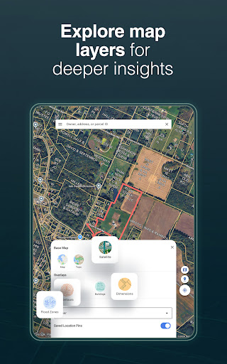
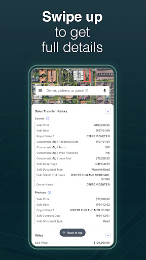
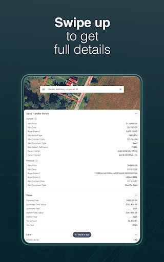
Access detailed parcel maps and property data including owner details, acreage, building descriptions, land use, market prices, and sale transfer dates. The app updates frequently, ensuring users have the most recent information, whether working online or offline.
Personalized Property Management
With LandGlide, you can save favorites, add notes, and upload photos directly to specific properties. This feature makes it easier to organize your property research, whether you’re scouting potential investments or managing multiple properties.
Export & Share Data
Need to present or analyze property information outside the app? LandGlide allows you to export all relevant data, making it simple to share insights with clients or colleagues.
Benefits for Buyers, Sellers, and Real Estate Pros
LandGlide’s extensive property database and mapping tools make it a crucial asset for real estate professionals. Agents can quickly verify ownership, assess land features, and evaluate property boundaries without leaving their office. Homebuyers and land investors can explore parcels thoroughly, identify potential opportunities, and gain insights that traditionally required multiple visits or public records searches.
Whether you’re conducting due diligence, planning land development, or simply satisfying your curiosity, LandGlide simplifies the process and enhances your understanding of land ownership across the country.
Pricing & Trial Offer
Getting started with LandGlide includes a free trial for the first seven days, giving you access to millions of parcel records nationwide. After the trial, a subscription costs $9.99 per month or $99.99 per year. For detailed terms of service, visit our terms of service.
Conclusion
In summary, LandGlide: GPS Property Finder offers an unparalleled combination of comprehensive land data, mapping accuracy, and user-friendly features. Whether you’re a landowner, real estate agent, or simply a curious explorer, this app unlocks a world of property information and ownership details right from your device. Its extensive coverage, frequent updates, and robust tools make it an essential resource for anything related to land and property research. Download LandGlide today and discover the secrets hidden in every parcel of land around you—your next big real estate opportunity may be just a tap away!
Pros
- Accurate property boundary delineation.
- Quick loading times for property details.
- Accessible without internet connection.
- Intuitive and easy-to-use interface.
- Provides comprehensive property information.
Cons
- Full access requires a subscription.
- Limited features available for free.
- GPS may sometimes be inaccurate.
- Consumes significant battery power.
- Lacks route planning features.











