
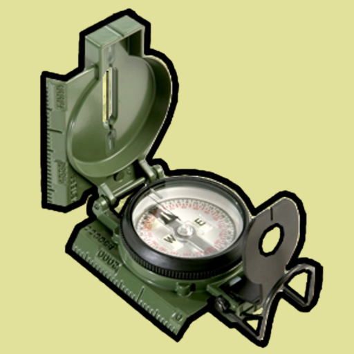
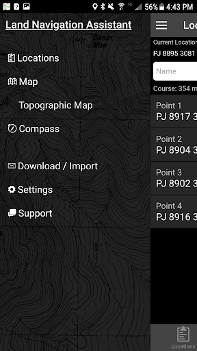
Discover the Power of Land Nav Assistant
Embark on your outdoor adventures or enhance your military training with Land Nav Assistant, a comprehensive navigation tool designed to meet the needs of hunters, hikers, campers, and military personnel alike. This intuitive app simplifies complex navigation tasks by utilizing various coordinate systems and map overlays, making it an essential companion for anyone serious about land navigation. Whether you're navigating through rugged terrain or designing optimal course routes, Land Nav Assistant is here to elevate your outdoor experience with precision and reliability.
Robust Features for Precise Navigation
Multiple Coordinate Systems and Inputs
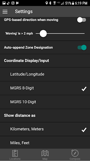
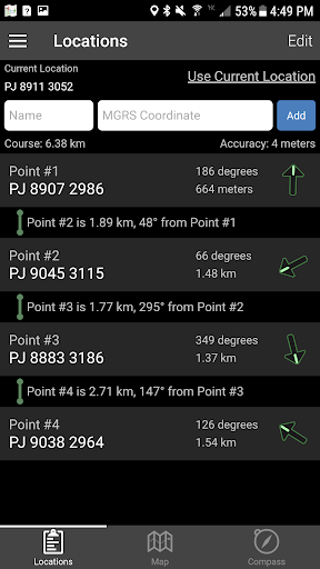
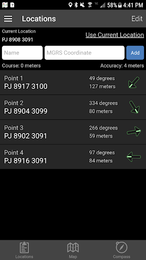
The app supports versatile input options, including •8-digit MGRS (Military Grid Reference System), •10-digit MGRS, •Latitude/Longitude in decimal degrees, and •DMS (degrees, minutes, seconds). You can input coordinates in formats such as DD:MM:SS with NSWE directions, ensuring compatibility with various mapping systems. This flexibility allows users to accurately pinpoint locations and plan routes with ease.
User-Friendly Navigation Interface
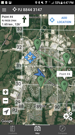
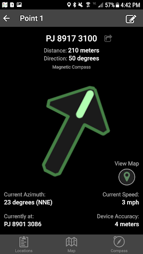
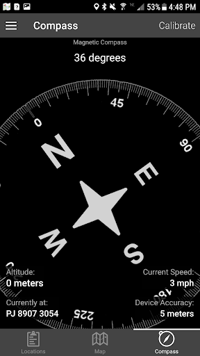
Navigation is streamlined with simple arrow controls and an interactive map view. As you move, your current distance, direction, bearing, and speed are displayed prominently, aiding in real-time decision making. Long-tapping the map provides the coordinates of any point, making it easy to add new locations or modify your course on the fly.
Course Planning and Optimization
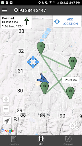
Plan your land navigation route by ordering multiple points or using the integrated course optimization feature, which calculates the shortest possible path between waypoints. The app also allows you to retrieve the distance and direction between two points by simply tapping the drawn path, enhancing your ability to navigate with confidence in diverse terrains.
Map Types and Overlays
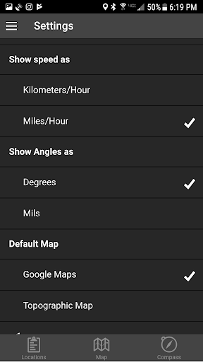
Choose from Satellite, Terrain, Road, and topographic maps to view your current location and plan routes effectively. Additionally, overlay a 1000m or 100m MGRS grid anywhere on your map for precise navigation—especially useful in military operations or detailed land surveys.
Data Export and Import Capabilities
Save your created locations as spreadsheets for offline use or sharing, and import bulk waypoints effortlessly via the dedicated web import utility available at Gammon Applications. This makes managing large sets of data straightforward and accessible, giving you a seamless experience whether preparing for an expedition or conducting training exercises.
Safety and Best Practices
While Land Nav Assistant significantly supports your navigation, it’s crucial to remember that land navigation is a skill best mastered independently. Use the app as a supplement, not your sole reliance, especially when exploring unfamiliar or remote areas. Always maintain awareness of your surroundings and be prepared with traditional navigation techniques for safety.
Why Outdoor Enthusiasts and Military Personnel Love It
Enhancing Outdoor Adventures
For outdoor lovers, Land Nav Assistant is a game-changer. Its user-friendly interface and powerful features enable hikers, campers, and explorers to navigate confidently. The app's ability to work with offline maps, supplemented by real-time tracking, provides peace of mind in areas with limited or no cell coverage. Marking waypoints, tracking routes, and optimizing courses turn complex navigation into an enjoyable, stress-free experience.
Perfect for Military and Tactical Use
Designed with military applications in mind, the app’s support for MGRS coordinates, map overlays, and precise bearing calculations make it ideal for soldiers, Marines, and tactical teams. The ability to overlay grids and import/export large sets of data helps coordinate operations efficiently, making Land Nav Assistant an invaluable tool for training and real-world missions alike.
A Reliable Companion for Your Next Adventure
Whether you’re preparing for a weekend camping trip or training for military exercises, Land Nav Assistant offers a reliable, feature-rich solution to improve your navigation skills. Its versatility, coupled with easy setup and offline map functionality, ensures you’re always prepared to face any terrain.
Final Thoughts
If you’re looking for a practical, dependable, and feature-packed land navigation app, Land Nav Assistant is your go-to choice. It seamlessly combines advanced mapping tools with an intuitive interface, making your outdoor adventures safer and more enjoyable. Remember, mastering land navigation skills is essential, and this app is an excellent aid in developing those skills while providing the data support you need to explore confidently. Gear up, plan smart, and let Land Nav Assistant guide your path to adventure!
Pros
- User-friendly interface suitable for beginners.
- Provides precise real-time GPS tracking.
- Allows for offline map downloads.
- Enables creation of custom waypoints.
- Offers comprehensive compass and navigation tools.
Cons
- High battery consumption.
- Limited options for map customization.
- May occasionally freeze on certain devices.
- Dependent on GPS signal for full features.
- Lacks integration with other navigation applications.











