

Overview of GPX Viewer PRO
GPX Viewer PRO is a feature-rich application designed for outdoor enthusiasts, travelers, and navigation hobbyists. It provides seamless support for viewing GPX, KML, KMZ, and LOC files, offering a comprehensive suite of tools for navigation, analysis, and map management. Recognized as one of the top-rated offline vector maps apps, GPX Viewer PRO combines powerful features such as GPS tracking, track analysis, custom map layers, and offline map support, making it an indispensable companion for outdoor adventures and trip planning.
Main Features of GPX Viewer PRO
File Support and Map Viewing
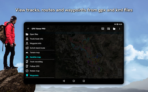
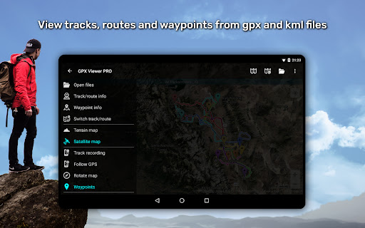
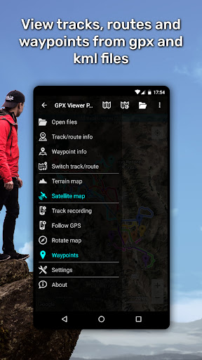
With GPX Viewer PRO, you can effortlessly view tracks, routes, and waypoints from various file formats including gpx, kml, kmz, and loc. Its intuitive file browser enables opening multiple files simultaneously while supporting favorite files and browsing history. Additionally, you can compress your gpx files into gpz, and kml files into kmz archives, enhancing organization and storage efficiency.
Detailed Trip Statistics and Graphs
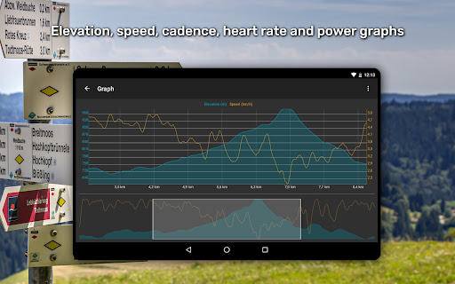
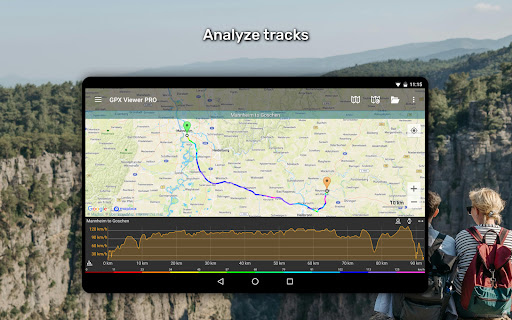
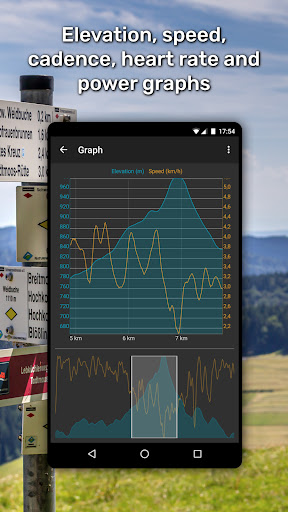
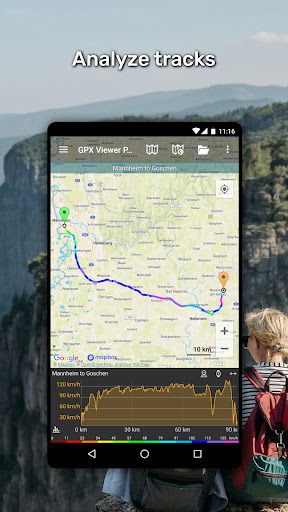
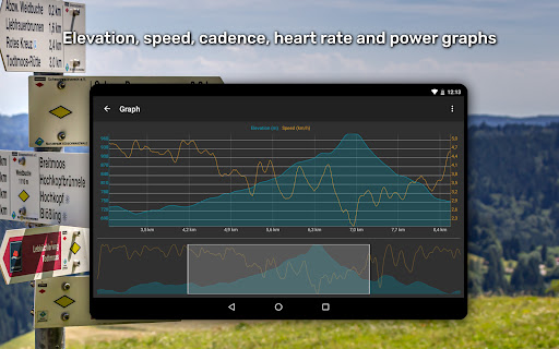
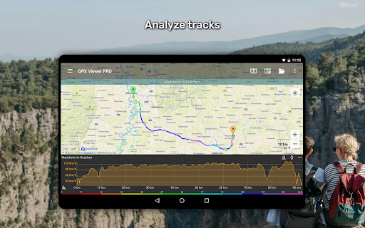
The app excels in showing comprehensive trip data. Users can view statistics such as elevation, speed, cadence, heart rate, power, and air temperature for tracks and routes. Visualize this data through interactive graphs including elevation profiles and speed charts. Moreover, waypoints can be customized with different icons, and track colors can be tailored. The app also allows coloring tracks and routes based on data like elevation, speed, or heart rate for better visualization.
Online and Offline Map Support
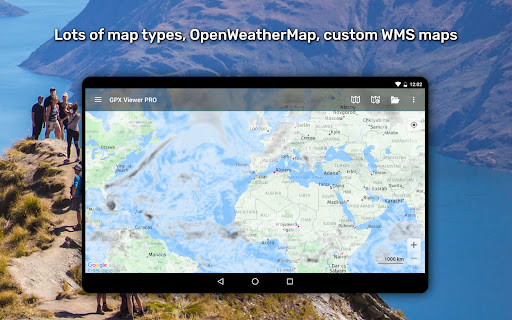
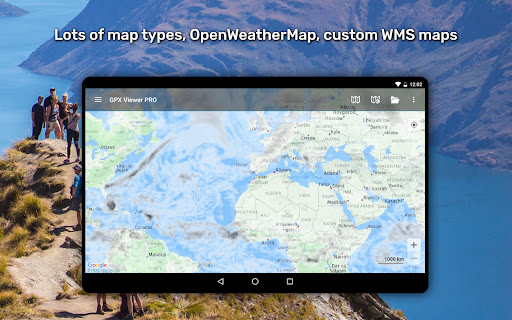
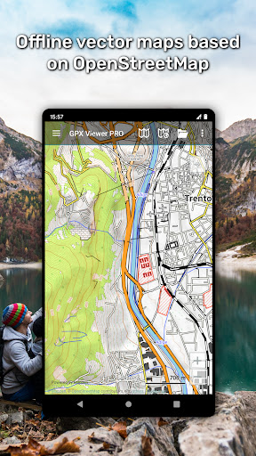
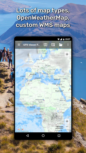
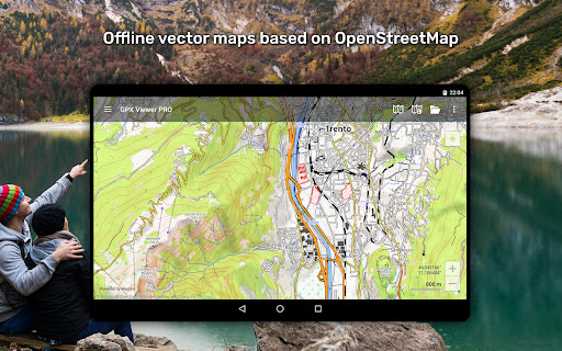
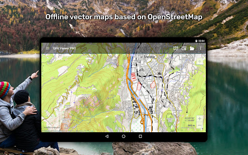
GPX Viewer PRO offers access to a variety of online maps such as Google Maps, Mapbox, HERE, Thunderforest, and others based on OpenStreetMap data, with the ability to preview these options. Additional features include OpenWeatherMap weather overlays and custom TMS or WMS map layers. For offline navigation, PRO users can download detailed vector maps worldwide, with numerous map styles suitable for city exploration or outdoor terrain. Regular monthly updates ensure map data remains current.
Navigation and Positioning
GPX Viewer PRO functions as a simple yet powerful navigation tool. It displays your current GPS position on the map, follows your movement, and can rotate the map based on device orientation or movement direction. Features like waypoint proximity alerts with adjustable distances enhance navigation safety. This makes it perfect for activities such as hiking, biking, and trail running where real-time positioning is essential.
Track Creation, Editing, and Recording (PRO Only)
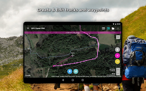
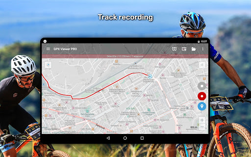
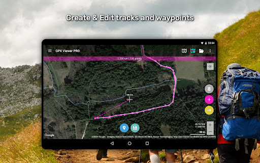
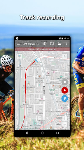
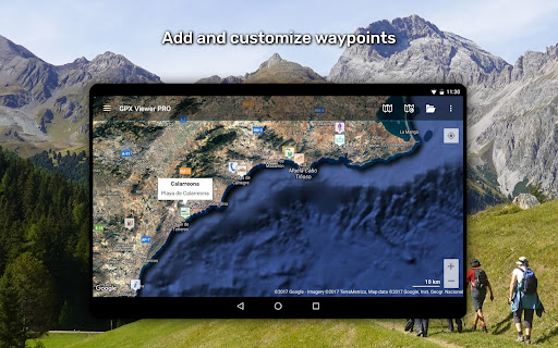
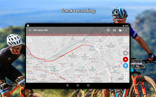
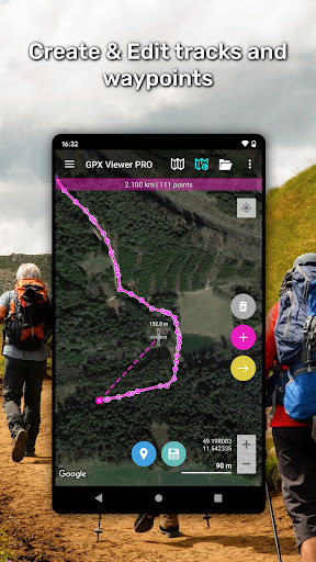
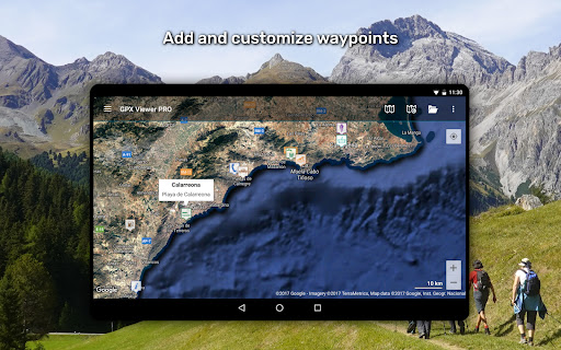
For advanced users, the app allows creating new tracks or editing existing routes. You can split tracks, merge multiple routes, and add waypoints with custom names and icons. Track recording captures your trips for later analysis or sharing, complete with elevation and speed data. Adjustable recording profiles support various outdoor activities, and voice notifications inform you of distance covered or time elapsed.
Weather Forecast Integration (PRO Only)
Stay informed about weather conditions with a built-in 7-day forecast and hourly updates. This feature is vital for planning outdoor activities and ensuring safety during your adventures.
Customization and User Experience
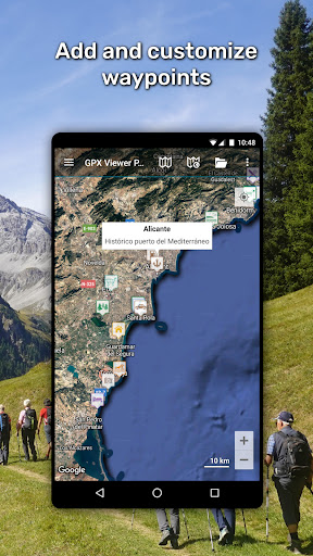
GPX Viewer PRO is highly customizable, allowing users to tailor map styles, track colors, waypoint icons, and data overlays to best suit their needs. Its user-friendly interface guarantees accessibility for beginners and power users alike. Whether you need a reliable offline maps app, a GPS tracker, or a detailed trip analysis tool, GPX Viewer PRO has you covered.
Why Choose GPX Viewer PRO?
If you're an outdoor adventurer, hiker, cyclist, or someone who relies heavily on GPS navigation, GPX Viewer PRO is the ultimate solution. It combines extensive file support, detailed map layers, offline capabilities, and customizable features all in one app. Its ability to handle complex trip data and provide real-time navigation makes it incredibly versatile. Plus, regular updates and a robust feature set ensure that it remains a top choice for users seeking reliable, offline, and feature-packed navigation software.
Pros
- High accuracy in GPS tracking.
- Access to maps offline.
- Able to customize waypoint features.
- Provides detailed elevation profiles.
- Compatible with multiple file formats.
Cons
- Limited features available in the free version.
- Occasional crashes of the app.
- Steep learning curve for new users.
- Drains battery during extended use.
- Premium version comes at a high cost.











