


Discover the Power of GPS with GPS Waypoints Navigator | MAPS
Are you ready to turn your smartphone into a comprehensive GPS tool that can guide you through wilderness adventures, maritime explorations, or urban journeys? The GPS Waypoints Navigator app offers a versatile and user-friendly experience, providing dozens of options for navigation across various environments. Whether you're navigating off-grid terrains, exploring waterways, or charting city streets, this app has you covered with an extensive suite of features designed for seamless navigation, waypoint management, and map access.
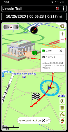
One of the standout qualities of GPS Waypoints Navigator is its capability to operate independently of network connectivity. Thanks to robust offline maps and navigation tools, you can venture into remote areas with confidence, relying solely on a good view of the sky for satellite signals. Organize and create your waypoints, record trails, and share your location data effortlessly with friends or colleagues. This makes it an ideal companion for activities such as trail hiking, off-road adventures, maritime navigation, camping, or even geocaching.
Unmatched Navigation Features for Every Explorer
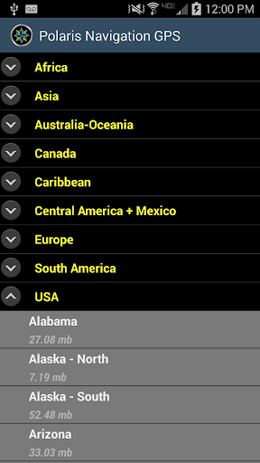
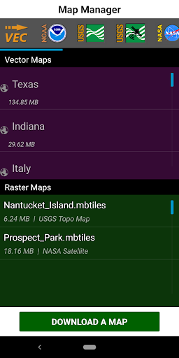
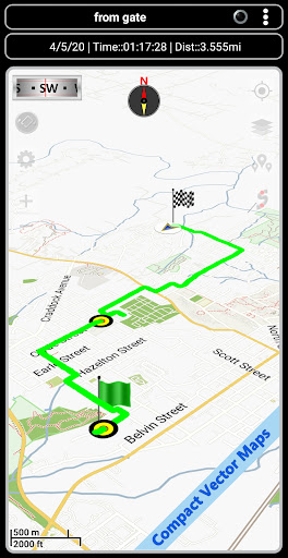
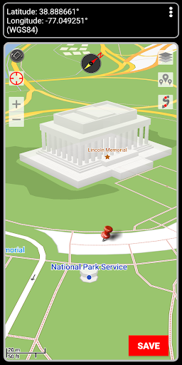
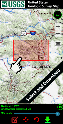
GPS Waypoints Navigator provides unlimited access to a diverse 3D vector map library featuring over 400 maps. Users can download maps for offline use, transferring them to an SD card to optimize device storage. The app supports various map sources, including vector maps, raster maps, topo maps, Google Maps, Satellite Maps, OpenStreetMaps, and NOAA Nautical Charts. This flexibility ensures you have the right map at your fingertips wherever your adventure takes you.
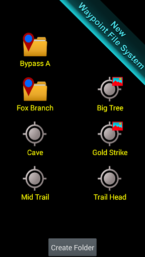
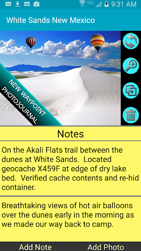
Managing your navigation data has never been easier with the integrated searchable waypoint and trail management system. You can attach notes and coordinate-tagged photos to waypoints, creating a detailed photojournal of your journey. Import and export data using KML, GPX, and KMZ formats, facilitating sharing and viewing in platforms like Google Earth.
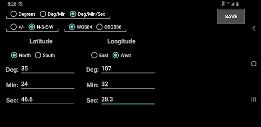
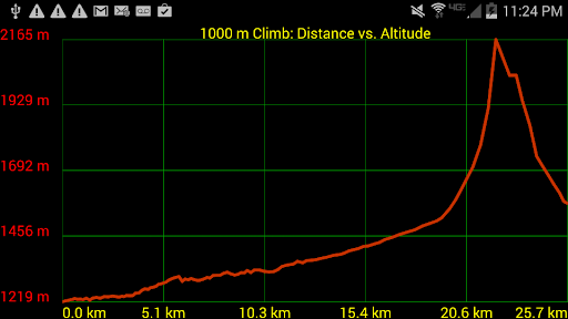
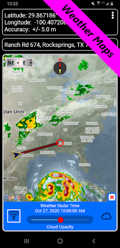
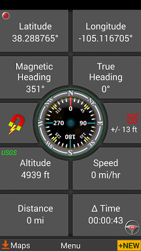
Navigate with precision thanks to features such as guidance systems that include a dynamic waypoint compass and GPS Reflected Pseudo-Radar. The app supports multiple coordinate formats—from latitude/longitude to UTM and MGRS—ensuring compatibility with various international mapping standards. Additional tools like altitude profiles, distance and bearing measurements, and weather maps keep you informed of environmental conditions that could affect your navigation.
Advanced Navigation and Exploration Tools
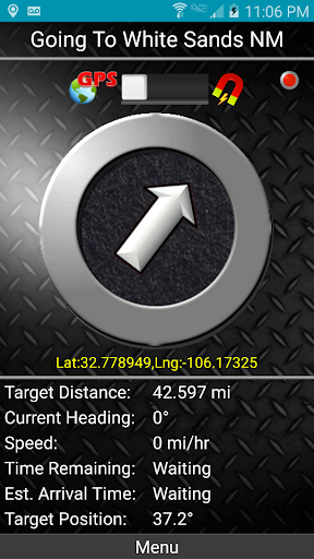
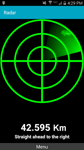
For users seeking more detailed guidance, GPS Waypoints Navigator offers two waypoint guidance systems. These include a dynamic waypoint compass always pointing toward your target and a GPS reflected pseudo-radar for proximity alerts. Create waypoints effortlessly by entering coordinates, dropping pins on the map, saving your current location, or inputting addresses with support for formats like UTM and MGRS.
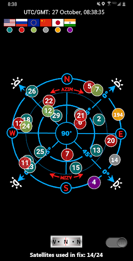
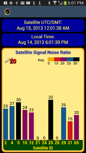
The app also features map search capabilities to find specific locations using various coordinate inputs, making navigation straightforward whether you're in an urban setting or out in the wild. Keep track of your position with GPS satellite graphs and position charts, and share your current location via email with just a few taps.
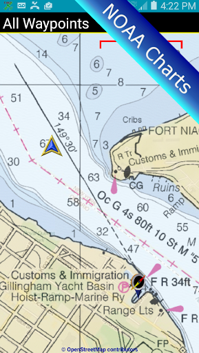
Marine navigation is well-supported with NOAA Nautical Charts and OpenSeaMap integration, ideal for boaters and seafarers. Multiple measurement tools allow calculating distances and bearings between points, crucial for precise navigation and planning.
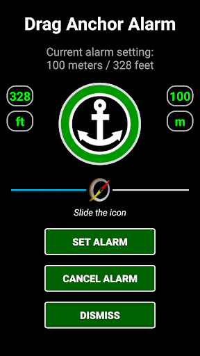
Enhanced features include waypoint proximity alerts, altitude profiles, environmental condition reports, and the ability to set drop anchor with a specified drift radius. The app supports several languages, making it accessible worldwide, and provides options for user customization such as units of measurement and display modes.
Additional Highlights and Seamless Compatibility
In addition to core features, GPS Waypoints Navigator offers turn-by-turn driving directions via Google Maps integration, enabling smooth on-road navigation. Users can export tracks and waypoints as GPX files for sharing or updating maps on OpenStreetMap, and import data from devices like Garmin.
Altitude sourcing options include satellite data, US Geological Survey (USGS) data (available in the contiguous U.S., Canada, and Mexico), and SRTM data for elevation accuracy. The app's design removes the need for account setup or registration, delivering a hassle-free experience right from the start.
Customer support is excellent, and multilingual support ensures users across the globe can benefit from all features. Whether you're a casual hiker, a professional surveyor, or an avid hunter or fisherman, GPS Waypoints Navigator provides a reliable, comprehensive toolkit to elevate your navigation adventures to new heights.
Pros
- Highly accurate GPS tracking.
- Supports multiple coordinate formats.
- Offline maps available.
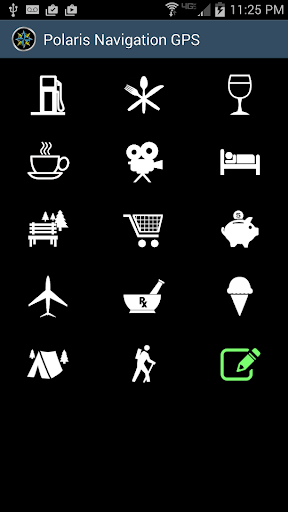
- Customizable waypoint icons.
- Integrated compass feature.
Cons
- Interface feels outdated.
- Limited map style options.
- Consumes significant battery.
- Occasional slow loading times.
- No social sharing features.











