

Discover the World with GPS Earth Live Satellite Maps
Are you ready to explore the globe from the comfort of your home? GPS Earth Live Satellite Maps is a revolutionary tool that transforms your device into a window to the world, allowing you to experience real-time satellite imagery and detailed maps of any location worldwide. Designed for adventurers, travelers, and curious minds alike, this app combines advanced AI features with high-definition mapping technology to offer an unmatched exploration experience.
Key Features of GPS Earth Live Satellite Maps
High-Definition Satellite & Earth Maps
The app provides multiple HD satellite maps and detailed 3D earth maps, enabling users to view any location with stunning clarity. Whether you’re examining a bustling city or a remote natural wonder, the detailed imagery ensures an immersive experience. The real satellite images are updated regularly, so you always get accurate and current views.
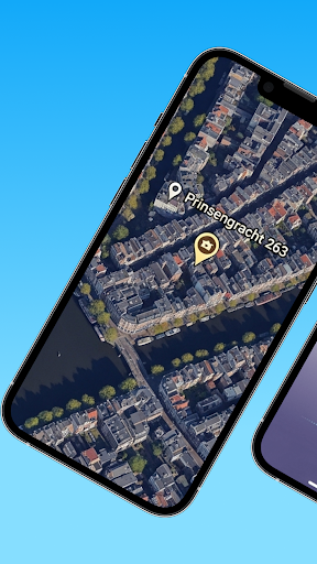
Live Satellite & Street View
Experience the thrill of live satellite imagery combined with street-level views of any area. This feature allows you to virtually walk through streets, explore neighborhoods, or admire landmarks as if you were there in person. With the aerial view, you can zoom into specific locations to see the terrain, buildings, and surroundings from a bird’s-eye perspective.
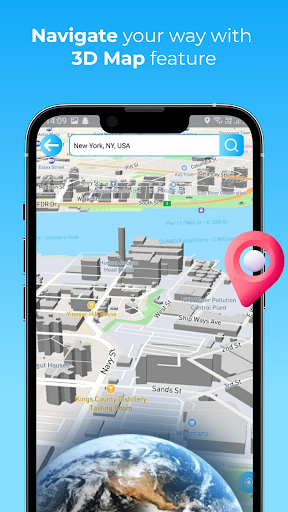
3D Earth Map & Buildings
The real 3D earth map feature offers a lifelike view of the planet, highlighting 3D buildings and geographical features. This is perfect for understanding urban areas, sightseeing spots, or natural landscapes, adding depth and realism to your exploration.
Advanced AI Integration
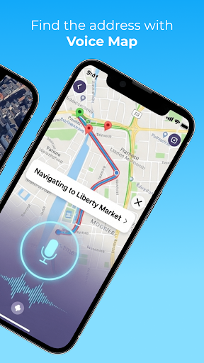
The app’s built-in AI chatbot acts as a personal assistant, helping you with tour planning, providing detailed information about locations, and answering travel-related queries. Just ask the AI about any place, and it will give you insights, latitude & longitude, and navigation options to reach your destination.
Navigation & Travel Tools
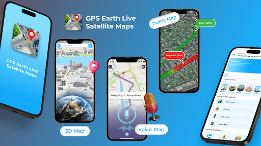
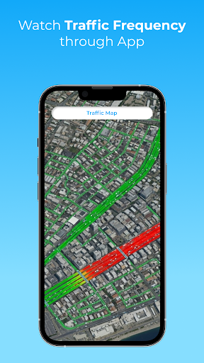
GPS Earth Live Satellite Maps is equipped with features like route planning, live traffic updates, speed alerts, and a speedometer. These tools ensure a smooth journey, whether you're navigating city streets or rural roads. Save your favorite addresses and routes for quick access later, making your travel experience more efficient and enjoyable.
Additional Features
The app allows users to find any address on the map easily, provides live traffic maps to avoid congestion, and displays high-quality maps to assist with your travel and exploration needs. You can track your current location, view distances, and explore tourist hotspots with aerial and street views.
Why Choose GPS Earth Live Satellite Maps?
Imagine having a personal travel assistant in your pocket that helps you discover new places, plan routes, and see landmarks in stunning detail. This app is perfect for exploring tourist spots, planning trips, or simply satisfying your curiosity about different parts of the world. Its combination of real satellite imagery and innovative features makes it a must-have for anyone passionate about travel and exploration.
Whether you are a seasoned traveler or an armchair explorer, GPS Earth Live Satellite Maps offers the tools, imagery, and insights to make your journey engaging and effortless. With real-time updates, high-definition maps, and a suite of navigation tools, it transforms digital exploration into an immersive adventure. Save favorite locations, plan routes with ease, and discover the beauty of our planet from the comfort of your home or on the go.
Start Exploring Today
Stop daydreaming about traveling the world—start exploring it! With GPS Earth Live Satellite Maps, the entire planet is at your fingertips. Capture the beauty of distant cities, explore natural wonders, or find new travel destinations—all in one app. Embark on your journey now and see the world like never before!
Pros
- High-resolution satellite imagery
- User-friendly interface
- Real-time GPS tracking
- Offline maps available
- Frequent updates
Cons
- Requires internet connection for live updates
- Can drain battery quickly
- Some features require payment
- Limited 3D view options
- Advertisements may be intrusive











