
Discover the World with Earth Map Satellite Live View
Are you passionate about exploring the globe from the comfort of your home? Earth Map Satellite Live View is a revolutionary app that transforms your device into a window to the world, offering stunning real-time satellite imagery and street views. Whether you're a geography enthusiast, a traveler planning future trips, or simply curious about the planet, this app provides a seamless experience to explore world maps and live earth satellite imagery at your fingertips.
Outstanding Features of Earth Map Satellite Live View
Real-Time Satellite and Street View
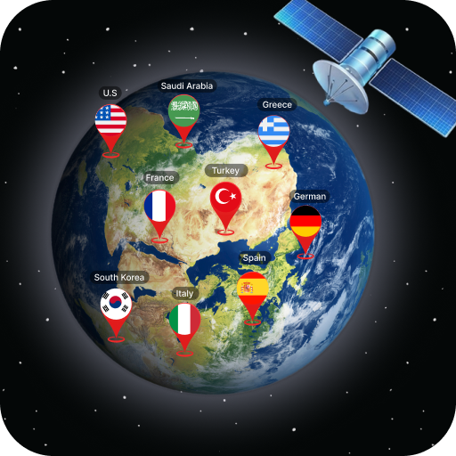
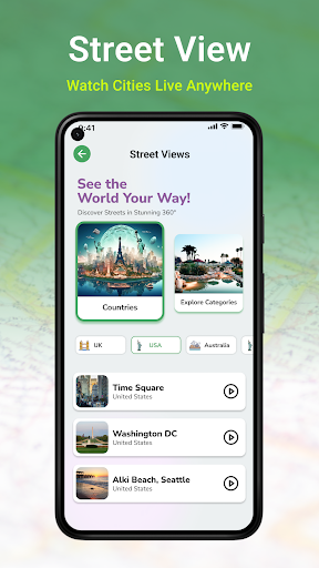
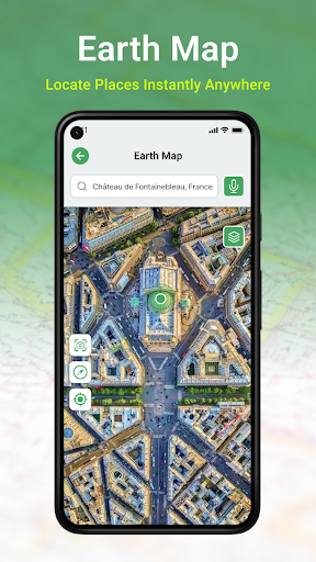
One of the main attractions of the Earth Map Satellite Live View app is its ability to deliver live satellite view of any location worldwide. Imagine zooming into the vibrant streets of New York City or the tranquil beaches of Bali—all in real time. This feature essentially offers a virtual globe at your fingertips, allowing you to explore live earth perspectives from anywhere in the world with just a few taps.
User-Friendly Interface
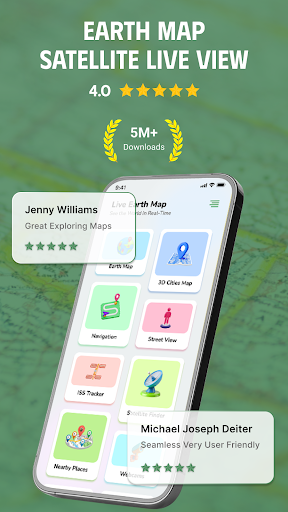
When I first downloaded this app, I was initially concerned about its usability, but it turned out to be incredibly user-friendly. The clean and intuitive menu structure takes minimal effort to navigate. Whether you’re tech-savvy or a beginner, you will find it easy to explore places, zoom into specific details, and switch between different view modes without hassle.
Seamless Zoom & Pan Functionality
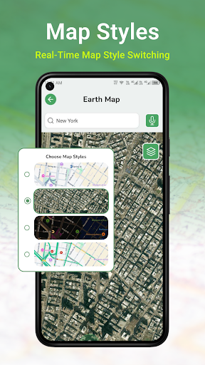
The app excels in providing smooth zooming and panning capabilities, which make exploring detailed locations or larger regions effortless. It’s as if you’re gently gliding over the surface of the earth, immersing yourself in the 3D globe and digital earth. Toggle between satellite and street views to get diverse perspectives and gain a better understanding of the geography.
Advanced Navigation and Exploration Tools
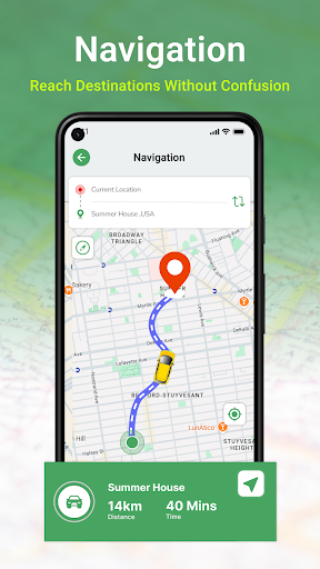
This app isn’t just about viewing; it’s also about navigating. Live GPS feature detects your current location automatically, making route planning and navigation straightforward. Additionally, the app offers voice navigation to guide you in real-time, promoting safe and easy exploration. Other helpful tools include a compass for directions and a pedometer to count your steps during virtual or real-world walks.
Educational and Entertaining
Earth Map Satellite Live View doubles as an educational platform. Use it to learn about global landmarks, urban structures, and diverse terrains. It’s perfect for students, educators, or travel enthusiasts who want to deepen their understanding of the world. Planning a trip becomes more engaging when you can virtually explore your destination beforehand.
Why Choose Earth Map Satellite Live View?
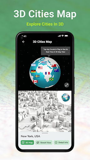
This versatile earth exploration app combines ease of use with powerful features. Its multi-purpose functionality includes satellite viewing, traffic navigation, and voice-guided directions. The ability to explore the planet in stunning HD 3D makes it not only a practical navigation tool but also a fascinating digital experience. Whether you want to see a specific city, landmark, or street, Earth Map Satellite Live View will be your virtual guide.
Discover a New Way to Explore the Globe
If you’ve ever dreamed of traveling the world without leaving your sofa, this app is your perfect companion. From zooming into remote islands to flying over famous landmarks, the live earth map provides a dynamic way to experience our planet. Its HD satellite imagery and live street views bring global sights to life right on your device. Immerse yourself in a world of discovery, education, and adventure—all through a simple, intuitive interface.
Start Your Virtual Journey Today
Download Earth Map Satellite Live View now and unlock a new dimension of exploration. Whether used for learning, planning trips, or satisfying your curiosity, this app makes our world more accessible than ever before. Experience the thrill of discovering new places, understanding geography better, and navigating like a pro—directly from your phone.
Pros
- High-resolution satellite imagery
- Real-time location tracking
- User-friendly navigation interface
- Street view functionality
- Availability of offline maps
Cons
- Advertisements can be disruptive
- Limited features in the free version
- Occasional slow loading times
- Consumes battery quickly
- Needs internet connection for live updates











