

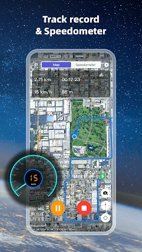
Introduction to Earth 3D Map-StreetView Camera
Key Features of Earth 3D Map-StreetView Camera
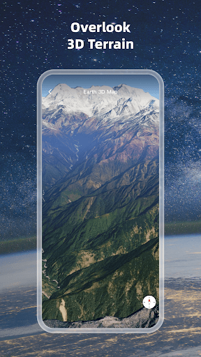
High-definition 3D Globe
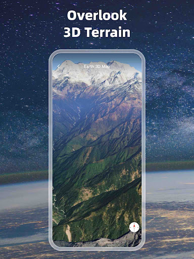
The app renders high-definition 3D globes that bring landscapes and cityscapes to life. This feature allows users to rotate, zoom, and interact with detailed planetary views, providing a realistic sense of terrain and urban development across the world.
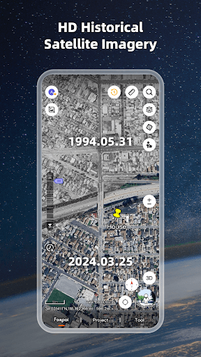
Map Data & Satellite Imagery
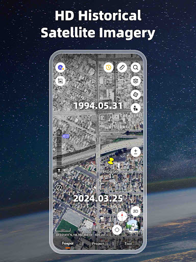
Load map tile data from various sources and access the latest satellite imagery to observe Earth's surface with remarkable detail. From dense forests to bustling cities, the satellite maps depict surface terrains, bodies of water, and human-made structures with high accuracy.
Compass and Navigation Tools
The built-in compass function ensures accurate orientation, making navigation intuitive whether you're exploring on mobile or desktop. This helps in seamlessly transitioning between different views and understanding your direction relative to the globe.
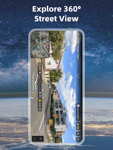
Historical Street View
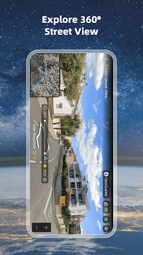
Experience historical street view footage to observe how locations have changed over time. This feature is perfect for research, urban planning, or nostalgic exploration of familiar places.
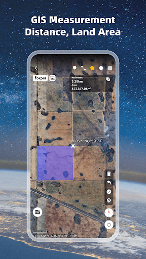
Measuring & Coordinates
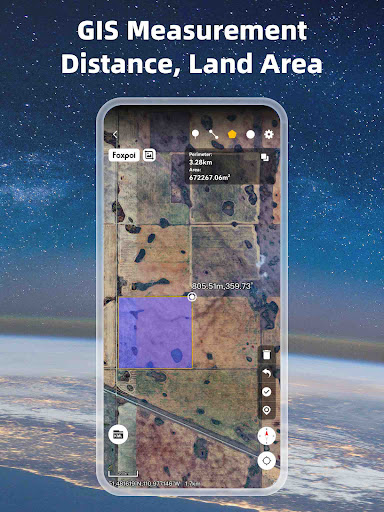
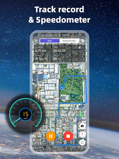
You can measure area and distance between points directly on the map, which is beneficial for GIS projects or planning outdoor activities. Additionally, support for UTM and MGRS coordinates allows for precise location referencing, essential for professionals needing accurate geospatial data.
Supported Formats for GIS Data
The app supports multiple GIS data formats such as kml/kmz, gpx, CAD (dxf, dwg), shp, csv, geojson, enabling better management of your GIS project files and data integration for detailed analysis and mapping tasks.
Global Coverage
Explore a vast range of countries and regions, including the United States, China, India, Brazil, Australia, and many more. It covers the entire globe, providing a versatile platform for worldwide exploration and educational purposes.
Experience the World Virtually
Immersive 3D & Street View
One of the standout features of Earth 3D Map is its ability to transform dull 2D maps into vibrant, lifelike 3D landscapes. Explore iconic landmarks, busy streets, or serene natural vistas from various angles, making each virtual tour a captivating experience.
Switch seamlessly between aerial (satellite) views and street-level perspectives. This integration offers a rich "walk-around" experience, letting you virtually stroll through neighborhoods and tourist attractions, or plan your future travels with detailed street views.
User-Friendly Interface
The app's intuitive design ensures ease of use. Searching for a city, landmark, or coordinate is straightforward, and switching between different views is smooth. Its optimized performance allows for heavy 3D rendering without lag, providing a seamless exploration experience.
Why Choose Earth 3D Map-StreetView Camera?
This application is perfect for virtual travel, educational use, GIS professionals, urban planners, or anyone fascinated by our planet. It presents an unparalleled combination of detailed satellite imagery, high-quality 3D mapping, and Street View capabilities in a single platform.
Experience the surface terrain, forests, rivers, lakes, and human-made structures across external landscapes in great detail. With this app, you can explore the world online, plan your trips, or gain new insights into global geography — all from your phone or computer.
Embrace the globe at your fingertips and begin your virtual journey today with the Earth 3D Map-StreetView Camera app — your personal window to the world.
Pros
- Interactive 3D maps improve exploration experience.
- Street view provides real-time navigation capabilities.
- User-friendly interface makes the app easy to use.
- Supports offline maps for remote locations.
- Regular updates introduce new locations.
Cons
- High data consumption when using live street view.
- Occasional lag during 3D map rendering.
- Limited options for customization.
- Advertisements can sometimes be intrusive.
- Some regions do not have street view coverage.











