
Introduction to Avenza Maps: The Ultimate Offline Mapping App
If you're an outdoor enthusiast, explorer, or navigation buff, Avenza Maps stands out as one of the best mobile mapping applications available today. Designed to work seamlessly without an internet connection, this app offers a comprehensive suite of features tailored for hiking, biking, camping, and all trail adventures. Whether you're venturing into national parks, backcountry trails, or urban landscapes, Avenza Maps ensures you stay on track and explore with confidence.
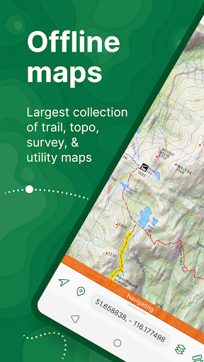
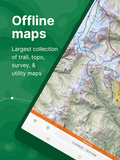
With a vast library of maps from reputable sources such as National Geographic, the National Park Service, and the US Forest Service, users have access to topographic, nautical, city, travel, and specialized maps suited for every activity. Not only can you browse and download these maps for free, but you can also import your own custom maps, making Avenza Maps a versatile tool for both recreational explorers and professional users.
Key Features of Avenza Maps for Outdoor Navigation
Offline GPS Navigation
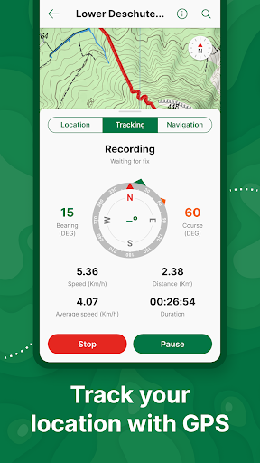
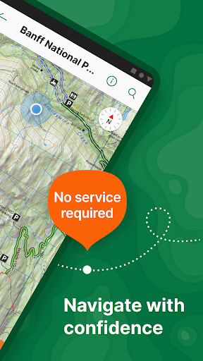
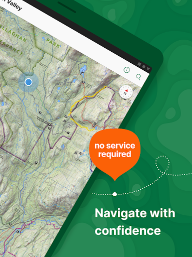
Avenza Maps's standout feature is its ability to provide real-time GPS location and navigation even when offline. You can locate your position precisely using built-in GPS and what3words integration, making it indispensable for remote or off-grid adventures. This means that even in areas with no cell signal, you can confidently navigate backcountry trails, remote campsites, or complex city streets.
Custom Map Import and Management
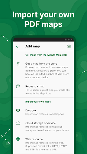
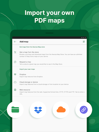
Beyond the extensive map store, users can import geospatial files such as KML, GPX, and CSV formats, allowing for personalized map experiences. The premium Plus subscription enables unlimited import of custom maps like GeoPDF®, GeoTIFF, and PDF files, ideal for professionals or serious hobbyists who need detailed and customized spatial data.
Advanced Navigation Tools
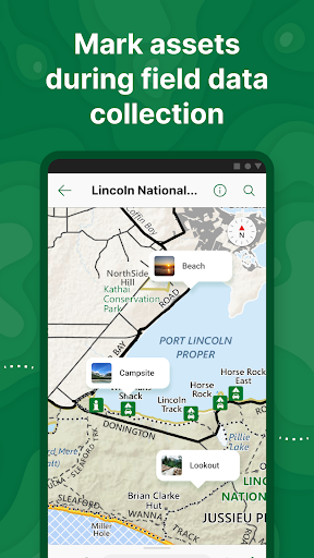
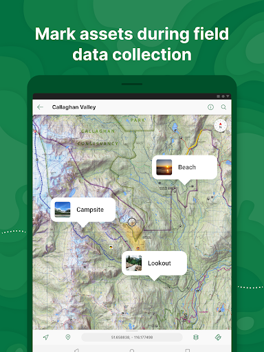
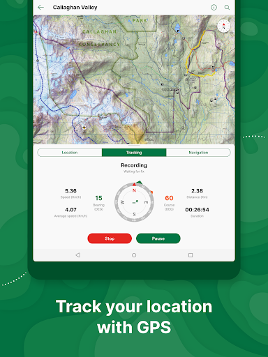
Enhance your outdoor activities with features like record GPS tracks during hikes or rides, add photos and notes to locations, style placemarks with recreational symbols, and measure distances or estimate travel times. The compass tools, geofencing capabilities, and route plotting make navigation both accurate and intuitive.
Extensive Map Store
Search and download maps from leading publishers—including Michelin, Backroad Mapbooks, and National Geographic. There are thousands of maps tailored for activities such as hiking, biking, fishing, nautical navigation, and city exploration. A free account grants access to all downloads, making it user-friendly for beginners and seasoned adventurers alike.
Subscription Plans for Every User
The app offers a free version, as well as Plus and Pro subscriptions. The Plus plan unlocks unlimited custom map imports and geofencing features, perfect for recreational users. The Pro subscription is geared toward professionals, with advanced options such as high-accuracy GPS device support, map orientation lock, shapefile integration, and priority technical support for organizations and specialized industries.
Why Avenza Maps is the Best Choice for Outdoor Enthusiasts and Professionals
Whether you’re planning a weekend camping trip, a backcountry trek, or a city sightseeing tour, Avenza Maps provides peace of mind through reliable offline navigation. Its easy-to-use interface coupled with robust features ensures that even users with minimal technical experience can navigate unfamiliar terrain with ease.
For professional users—such as geologists, surveyors, or rescue teams—the Pro version offers powerful tools like advanced coordinate formats, high-accuracy GPS device support, and unlimited geofence creation. This makes Avenza Maps not just a recreational app but a professional-grade mapping solution suitable for critical missions or fieldwork.
The app’s extensive map catalog, from authoritative sources, ensures users have access to high-quality geographical data. Plus, the ability to import custom maps allows for tailored, high-resolution spatial information, perfect for specialized tasks or personal projects.
With ongoing support and a commitment to privacy and legal standards, Avenza Maps remains a top choice for anyone seeking a dependable offline mapping solution. It is continually updated with new features and maps to enhance user experience across various outdoor activities and professional needs.
Conclusion: Your Offline Adventure Companion
In summary, Avenza Maps empowers you to explore the world confidently, knowing that detailed maps and precise GPS data are always at your fingertips—even when offline. Whether you’re a casual hiker, a cyclist, or a professional in need of reliable spatial data, this app is designed to support your adventures, enhance safety, and elevate your outdoor experience. Download Avenza Maps today and never get lost on your next adventure!
Pros
- Easy access to offline maps
- User-friendly interface
- Extensive selection of maps
- GPS tracking capability
- Customizable map layers
Cons
- Limited free map options
- Occasional crashes of the app
- Slow map download speeds
- Requires device storage
- Some features are paid











