
Discover the Power of AlpineQuest Off-Road Explorer
Are you an outdoor enthusiast seeking a reliable and feature-rich navigation tool? Look no further than AlpineQuest Off-Road Explorer, an innovative app designed to elevate your adventures in the wilderness. Whether you're into hiking, trail running, off-road driving, sailing, geocaching, or hunting, AlpineQuest is your comprehensive companion for exploring remote terrains with confidence and ease.
Comprehensive Features Designed for Every Explorer
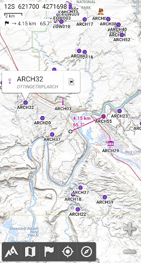
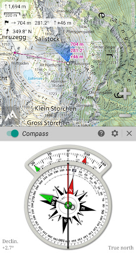
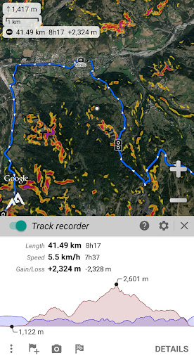
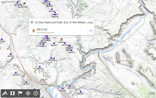
AlpineQuest offers a suite of powerful features that cater to both casual outdoor enthusiasts and seasoned explorers. Its standout capability lies in offline map access, allowing users to download and store a vast range of topographic maps, including topographic, satellite, and road maps. This ensures you'll always have detailed geographic information at hand, even in areas with no cell coverage—a common scenario in mountain ranges or abroad. The app supports various map formats such as raster images, KMZ overlays, OziExplorer formats, GeoTIFF, and MBTiles, making customization and detailed mapping seamless.Another remarkable aspect is its real-time GPS tracking. With support for multiple satellite systems like GPS, Glonass, and Galileo, AlpineQuest keeps you accurately localized, guiding you through complex terrains. The built-in compass and map orientation features help you maintain your bearings, turning your device into a trustworthy navigation aid. For longer adventures, the app's GNSS/Barometric track recorder captures detailed tracking data, including altitude and battery status, effectively making it your digital trail log.
Robust Mapping and Customization
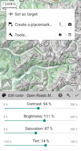
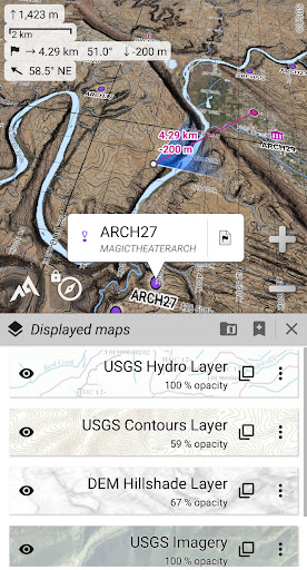
AlpineQuest is equipped with both built-in maps and the capability to add external map layers easily. This includes community-shared maps from its extensive online map repository, comprising global and local topographic maps. Users can calibrate images to create new custom maps, supporting formats like GeoPackage, GeoTIFF, and MBTiles. The app also displays digital elevation models (DEM), providing terrain shading, slope, and hillshade visualizations to assist in planning routes and understanding elevation challenges.
Placemarks and Route Planning
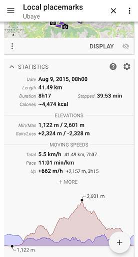
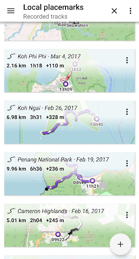
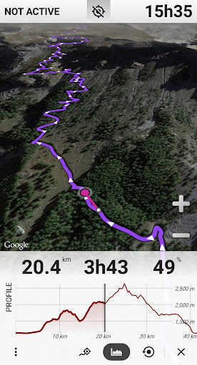
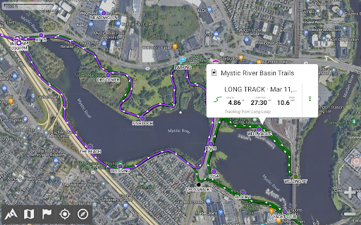
Create and manage unlimited placemarks, routes, areas, and tracks, importing and exporting data via GPX, KML, SHP, GeoJSON, and CSV formats. This makes sharing your favorite locations or custom routes with fellow explorers simple and efficient. The intuitive interface includes a Time Controller feature, which allows you to replay recorded tracks—perfect for analyzing past hikes or planning future excursions. You can also add detailed information and statistics to each item, enhancing your understanding of your journey.
Precise Positioning and Orientation Tools
AlpineQuest’s geolocation features utilize your device's GNSS receiver or network-based positioning to keep you on track. The app offers map orientation tools like compass and target finder to ensure you always know where you are and where you're headed. Alerts such as proximity and leave-path notifications help prevent getting lost, especially when venturing into uncharted wilderness. If your device supports a barometer, the app integrates that data for even more terrain insight.
The Ideal Companion for All Outdoor Activities
Designed to support a wide array of outdoor pursuits, AlpineQuest adapts effortlessly to diverse environments and needs. Whether you're mountain biking, trail running, exploring remote areas, or offshore sailing, this app provides the precision, flexibility, and offline reliability essential for safe and enjoyable adventures. Its support for multiple measurement units (metric, imperial, nautical) and coordinate systems (WGS, UTM, MGRS, OSGB, and more) ensures compatibility with international navigation standards.
Why Choose AlpineQuest Off-Road Explorer?
If you're looking for a navigation app that is ad-free, privacy-conscious, and packed with powerful features, AlpineQuest fits the bill. It operates without advertisements, data sharing, analytics, or third-party libraries, putting your privacy at the forefront. The app's intuitive design, extensive map support, and real-time tracking make it the perfect tool to unlock the full potential of your outdoor adventures. Download the free Lite version today and start exploring with confidence!
Pros
- Offline maps available
- Customizable interface
- Accurate GPS tracking
- Supports various map formats
- Easy waypoint management
Cons
- Complex for beginners
- Paid features locked
- High battery usage
- Occasional bugs
- Limited customer support











