

All-In-One Offline Maps: Your Ultimate Offline Navigation Companion
For outdoor enthusiasts and explorers alike, having a reliable map app that works seamlessly without an internet connection is essential. All-In-One Offline Maps stands out as a top-tier solution, offering extensive features designed to keep you navigating confidently, no matter where your adventures take you.
This app is perfect for those tired of waiting for maps to load, especially in remote areas or during overseas trips. Once the maps are downloaded and displayed, they are stored locally on your device. This means fast, offline access that remains available even with no network connection, significantly enhancing your outdoor experience.
Without any advertisements, data sharing, monetization, analytics, or third-party libraries, All-In-One Offline Maps prioritizes user privacy and provides a clean, distraction-free interface. It’s designed for adventurers who want a powerful, reliable mapping tool without intrusive elements.
Comprehensive Map Selection and Customization
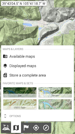
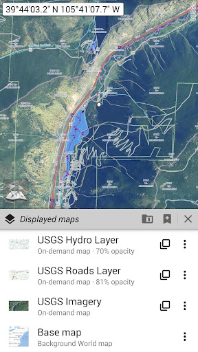
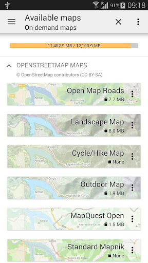
The app boasts an impressive array of map types, including classical road maps, topographic maps, and aerial (satellite) imagery. You can also add various layers to enrich your navigation experience, such as OpenStreetMap (roads, topography), USGS National Map (high-resolution topo, aerial imagery), and extensive worldwide military topo maps. This extensive map library turns your device into a versatile map hub.
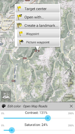
All maps support stacking in layers, allowing you to adjust the opacity for a customized view. You can select and store large map areas with just a few clicks, and the storage space is clearly managed, making it easy to delete unused maps or manage your data footprint efficiently.
Stay Organized with Unlimited Placemarks and Routes
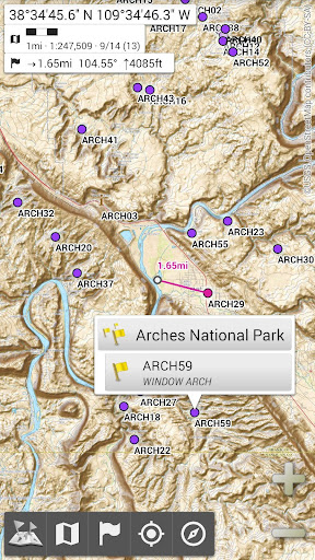
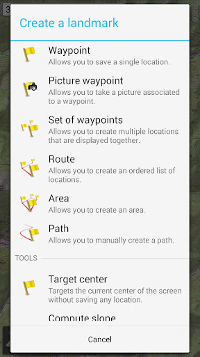
Adding and managing waypoints, icons, routes, areas, and tracks is straightforward with All-In-One Offline Maps. The app supports unlimited placemarks, which you can organize using the powerful SD-Card Placemarks Explorer. This feature enables you to plan your trips meticulously and keep all important locations at your fingertips.
Whether you're marking a summit, campsite, or a point of interest, the app makes it easy to store and retrieve this information, even offline. This capability makes it an invaluable tool for hikers, bikers, and explorers who need reliable navigation without risking connectivity issues.
Real-Time GPS Location and Orientation
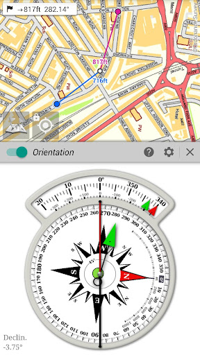
On-map GPS location ensures you always know your current position relative to the map. Your real location and direction are displayed prominently, with options to rotate the map to match your actual orientation—dependent on your device's capabilities. This feature simplifies navigation and makes it easy to stay on course.
The app provides metrics in metric, imperial, or hybrid units, along with various coordinate formats such as UTM, MGRS, USNG, and many others. You can import hundreds of coordinate formats directly from spatialreference.org, ensuring compatibility with your preferred systems. Full-screen map views, multi-touch zoom, and on-map grid displays further enhance usability.
Enhanced Features for Adventurers and Explorers
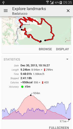
For those who crave more, All-In-One Offline Maps offers additional features to elevate your outdoor adventures. While basic navigation is robust, adventurers can explore integrations with apps like AlpineQuest Off-Road Explorer, which builds upon this mapping platform with GPS track recording, route planning, and more. This makes it an all-encompassing outdoor toolkit for hiking, biking, off-road driving, and general exploration.
Designed with a user-friendly interface, the app ensures that even beginners can quickly learn and customize their experience. Its lightweight design ensures minimal battery drain, and toggling features like GPS tracking can conserve power when needed. Whether you’re venturing into the wilderness or navigating urban environments, All-In-One Offline Maps provides the reliable offline mapping solution you need.
In summary, this app isn’t just a mapping tool; it’s a comprehensive outdoor companion tailored for explorers, hikers, bikers, and adventurers who refuse to be limited by connectivity. Its rich map library, customizable layers, offline storage, and precise GPS features make it a must-have for anyone serious about discovering new terrains without constraints.
Embrace your next adventure with confidence—download All-In-One Offline Maps and explore the world on your own terms!
Pros
- Access to comprehensive offline maps
- Intuitive and user-friendly interface
- High level of detail in topographic maps
- Ability to customize map layers
- Seamless GPS integration
Cons
- Limited information on points of interest (POI)
- Occasional difficulties in loading maps
- Lack of real-time traffic updates
- App size is large
- Requires regular updates











