Zoom Earth - Live Weather Map
Imagine having a window to the world that offers real-time insights into weather patterns, wildfires, and hurricanes as they unfold across the globe. Zoom Earth is an innovative interactive weather map platform that brings this vision to life, giving users an immersive experience with live satellite imagery and up-to-date meteorological data.
Explore the World in Real Time
Upon launching Zoom Earth, users are greeted with a smooth, intuitive interface that makes exploring global weather conditions effortless. The platform allows you to zoom in and out of different locations, providing a bird’s-eye view of weather changes happening in real time. Whether you're tracking a tropical cyclone or just curious about weather in a distant city, Zoom Earth turns your device into a powerful meteorological tool reminiscent of Google Earth but tailored for weather enthusiasts.
Features That Stand Out
Live Satellite Maps
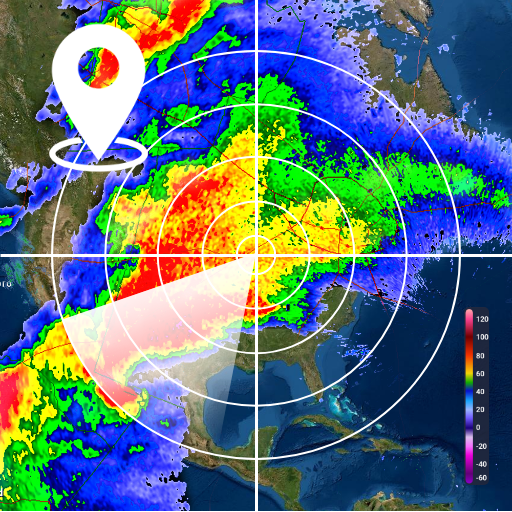
One of the most impressive features is the live satellite map view, which updates every few minutes. These maps provide an authentic view of current weather conditions globally, sourced from reliable satellites like NOAA GOES, JMA Himawari, EUMETSAT Meteosat, and NASA's Aqua and Terra satellites. The frequent updates—every 10 minutes or so—ensure users receive near real‑time satellite imagery, making it easier to track storm development or monitor regional weather changes.
Weather Overlay Layers
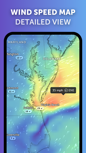
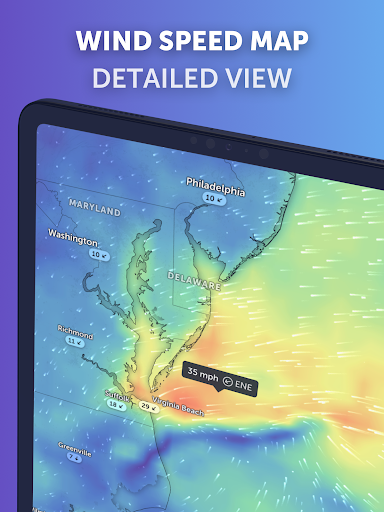
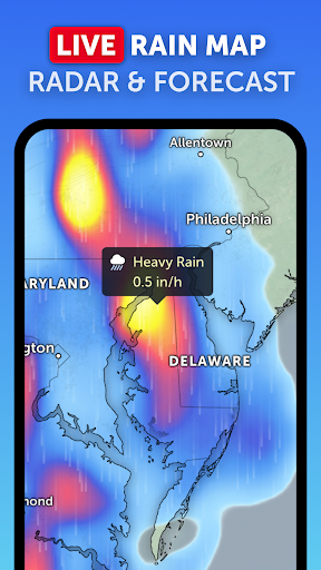
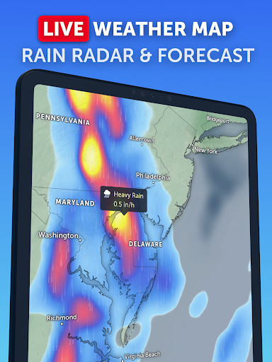
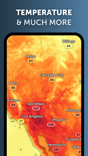
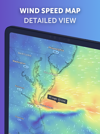
The platform offers detailed weather overlays that include precipitation, wind speed, pressure, temperature, and more. You can layer these elements for a comprehensive visual understanding of current conditions. From viewing rain and snow to wind gusts reaching maximum speeds, Zoom Earth helps users become their own meteorologists with accessible and easy-to-understand data.
Forecast Maps
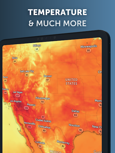
Dive into stunning interactive forecast maps that visualize upcoming weather patterns with data from reputable sources like DWD ICON and NOAA/NCEP/NWS GFS. These maps include forecasts for temperature, precipitation, relative humidity, dew point, and atmospheric pressure. Whether you're checking the feels like temperature or monitoring low- and high-pressure areas associated with weather systems, Zoom Earth offers detailed and current forecast visuals.
Hurricane Tracking
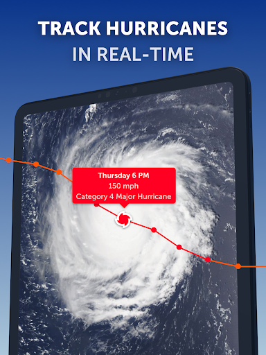
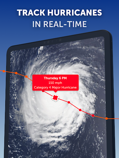
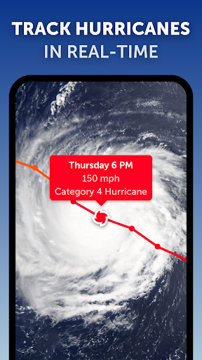
One of the standout features for those interested in extreme weather is the real-time hurricane tracker. Follow tropical cyclones from their inception to category 5 storms with our precise tracking system. Updated with the latest data from leading agencies like NHC, JTWC, NRL, and IBTrACS, this feature provides clear and easy-to-understand hurricane information, making it a vital tool during storm season.
Wildfire Monitoring
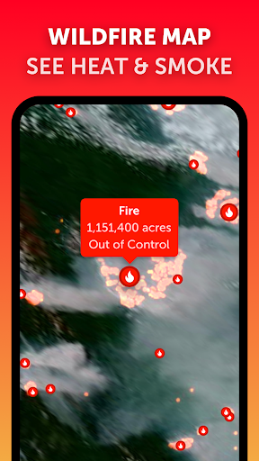
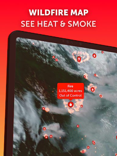
Stay ahead of wildfire threats with wildfire tracking. The platform overlays active fire points and heat spots, highlighting areas with very high temperatures detected by satellite. Updates from NASA FIRMS ensure daily information on fire locations and smoke movement, which is especially useful for environmental monitoring and safety planning.
Customizable and User-Friendly Interface
Zoom Earth allows users to tailor their experience with customizable settings, including units for temperature and wind speed, time zones, and animation styles. Its responsive design guarantees a seamless experience whether on desktop or mobile, making it suitable for weather enthusiasts, travelers, or environmental scientists alike.
Upgrade to Zoom Earth Pro
For enhanced features, users can opt for the Zoom Earth Pro subscription, which unlocks additional tools and capabilities. Please note that this is available through auto-renewable subscriptions, with charges applied via your Google Play account. Subscription details and terms are available on their official website.
Conclusion
If you’ve ever gazed at the sky and wondered about the weather patterns on the other side of the world, Zoom Earth makes it possible to satisfy that curiosity with just a tap on your smartphone. This app turns global weather data into a visual experience that is both engaging and informative, providing a comprehensive view of our planet’s dynamic climate system. From tracking hurricanes and wildfires to monitoring daily weather forecasts, Zoom Earth empowers you to stay informed, safe, and connected to the changing environment around you.
Pros
- High-resolution satellite images provide detailed views.
- Real-time weather updates keep users informed.
- User-friendly interface ensures easy navigation.
- Detailed weather forecasts offer comprehensive information.
- Multiple viewing options for maps are available.
Cons
- An internet connection is required to use the app.
- Offline functionality is limited.
- The app may consume a large amount of data.
- Loading times can be occasionally slow.
- Advertisements may be intrusive for users.