
Introducing the Drone App: Forecast for UAV
Discover the ultimate mobile application designed for UAV & DJI pilots—Drone App: Forecast for UAV. Whether you're an enthusiast or a professional drone operator, this comprehensive app serves as your essential companion for safe, informed, and successful flights. From real-time weather data to no-fly zone mapping, it consolidates all crucial flight information into a user-friendly interface, making drone flying safer and more predictable.
Key Features of the Drone App: Forecast for UAV
All-in-One Flight Planning Tool
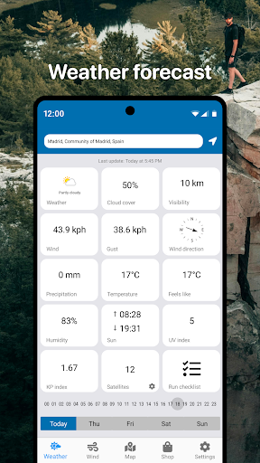
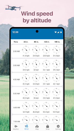
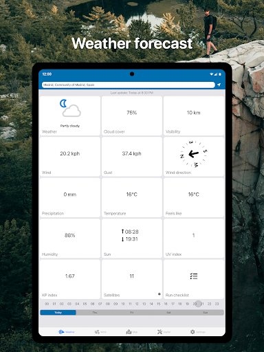
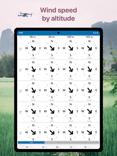
This innovative app provides a detailed real-time weather forecast tailored for UAV operations in your selected area. It includes hourly updates and 3-day forecasts, enabling you to anticipate weather changes well in advance. Essential parameters such as wind speed, maximum gusts, wind direction, and altitude-specific wind details ensure you have a complete picture before takeoff.
Environmental and Time Data
Stay informed about sunrise and sunset times to optimize your flight schedules. Knowing these times can be vital for flight safety and complying with local regulations.
No Fly Zone Air Map
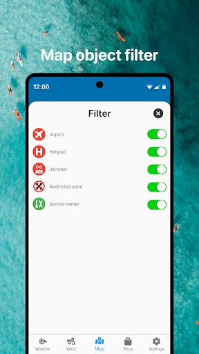
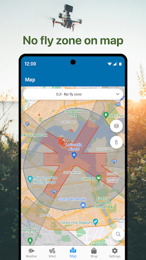
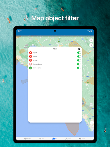
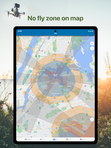
One of the standout features is the No Fly Zone air map, which highlights restricted areas such as airports, heliports, and sensitive zones marked in red. This visual tool allows pilots to choose safe airspace, minimizing risks of violations and accidents.
Navigation and Orientation Tools
Utilize the built-in compass feature to detect wind direction accurately, helping you adjust your flight path for optimal stability. The app also includes other useful parameters especially relevant for DJI drones and similar UAV models.
Compatibility with a Wide Range of UAVs
Whether you're flying a DJI Mavic, DJI Phantom, Inspire, Mini, Air, Spark, or other brands like Parrot, Xiaomi, Autel, Walkera, Yuneec, Hubsan, FIMI, Syma, Volocopter, Skydio, or any other unmanned aerial vehicle, this app is versatile enough to support them all.
Why Choose Drone App: Forecast for UAV?
Enhance Flight Safety
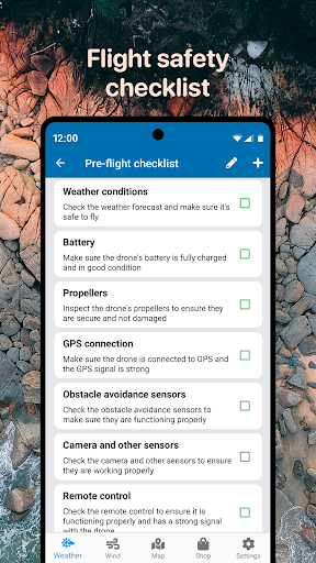
The app’s core value lies in preventing accidents by providing accurate weather forecasts and no-fly zone alerts. By checking conditions beforehand, pilots can deploy their drones confidently and avoid triggering restricted zones or encountering adverse weather.
Efficient Flight Planning
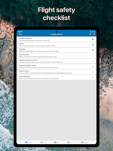
Planning a drone mission becomes straightforward with features like obstacle warnings, altitude considerations, and route mapping. This helps both hobbyists and professionals execute complex flights with ease.
Real-Time Alerts for Unexpected Changes
Stay constantly updated with instant notifications about weather shifts or temporary flight restrictions. Whether dealing with emergency no-fly zones or sudden weather changes, the app keeps you informed, allowing quick adjustments to ensure safety.
Broad Compatibility and Convenience
From small quadcopters to advanced UAVs, this app supports a variety of drone models across multiple brands. Its intuitive interface ensures that users can quickly access essential data without complication, making flight preparation and execution seamless.
Conclusion
Drone App: Forecast for UAV is more than just a weather forecast tool—it's an all-encompassing drone flight assistant designed to improve safety, compliance, and efficiency. Whether you're flying for recreation or conducting professional aerial work, this app provides critical flight data that helps you make informed decisions. Download it now to enhance your flying experience, avoid restricted zones, and deploy your drone with confidence. With comprehensive real-time weather updates, no-fly zone maps, and easy navigation tools, it's the ideal companion for every UAV pilot looking to elevate their drone flying skills.
Pros
- User-friendly interface for quick navigation
- Highly accurate weather forecasts
- Real-time updates enhance flight safety
- Customizable alerts for weather changes
- Extensive weather data coverage for various locations
Cons
- Limited offline capabilities
- Dependence on a stable internet connection
- Occasional latency issues within the app
- Premium features require a subscription
- May consume significant battery power during usage