Discover the Power of OruxMaps GP for Outdoor Adventures
OruxMaps GP is a versatile and highly functional mapping application designed for outdoor enthusiasts who love exploring nature, whether hiking, biking, or engaging in nautical sports. Available on both Android and iOS platforms, this app provides a comprehensive suite of features that cater to users seeking reliable offline and online map navigation solutions. Its broad support for various map formats and seamless integration with external devices makes it a must-have tool for adventurers and professionals alike.
Key Features of OruxMaps GP
Extensive Map Format Support
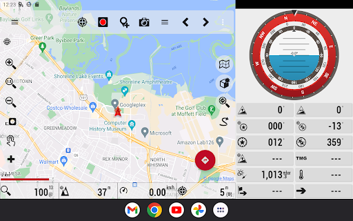
One of the standout capabilities of OruxMaps GP is its support for multiple map formats including GeoPDF from the USGS store, GeoTIFF maps, .ozf2, .img Garmin (vectorial maps with limited full support), .mbtiles, and more. The app functions as an online and offline map viewer, enabling users to access a wide array of map sources. Whether downloading online maps for offline use or viewing live web-based maps, users have flexibility, especially with new integrations like Mapbox and Google online maps (subscription required).
Offline and Online Navigation
Navigate effortlessly with online map capabilities like WMS and WMTS services. You can download maps during your outings for offline access, ensuring navigation is smooth even in areas with poor cell coverage. Keep in mind that not all online map sources are downloadable, so users should select sources accordingly.
Personalized Tracking and Sharing
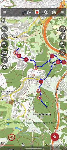
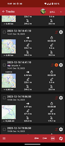
The app excels in tracking your routes and shared adventures. It supports various formats such as GPX, KML, KMZ, TCX, and FIT, with options to share your position with friends via email. When registered, the app stores your data securely on OruxMaps servers, and all personal information, including location sharing contacts, is used strictly for the app’s purpose and can be deleted upon account removal.
External Devices and Sensors Compatibility
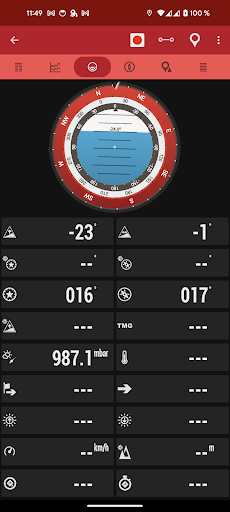
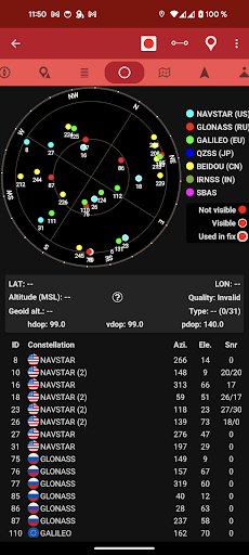
OruxMaps GP supports a range of external hardware to enhance your navigation experience. This includes external GPS devices, Bluetooth heart rate monitors, smart devices, bike cadence and speed sensors, ANT+ devices, and even systems that monitor tire pressure and temperature. For nautical activities, the app supports AIS information systems through Wi-Fi, Bluetooth, or USB connections.
Advanced Navigation Features
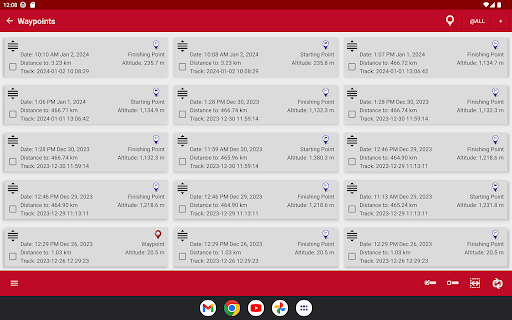
Create, save, and customize waypoints, including attaching photos, audio, and video. The app allows you to use custom icons and attach forms to waypoints for detailed information logging. Route following is simplified with alarms alerting you when near waypoints or deviations from planned routes. You can also set geofence or exclusion zones using KML/KMZ overlays, making the app suitable for specialized navigation tasks.
Route Management and Editing
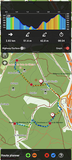
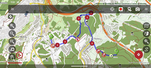
Import, search, and create routes using sources like gpsies.com or offline tools such as Brouter and Graphhopper. The route editor enables modification of track points, adding, removing, or moving them to enhance accuracy. Additionally, users can correct altitude data with DEM files, ensuring elevation data is precise.
Support for Wear OS and Additional Tools
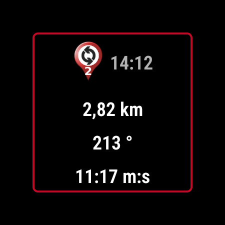
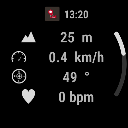
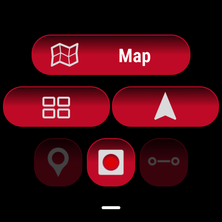
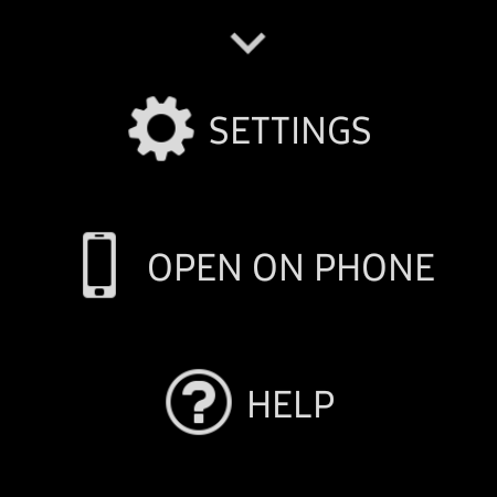
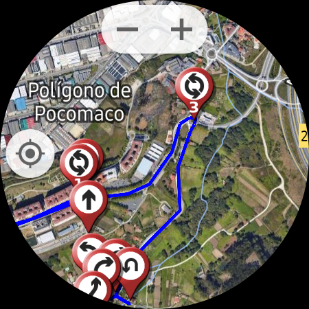
A simplified version of OruxMaps GP is available for Wear OS devices, providing key data displays and basic map views on your smartwatch. This extension helps you stay connected to your navigation data even when your main device is out of reach.
Why Choose OruxMaps GP for Your Outdoor Activities?
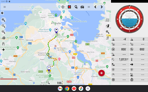
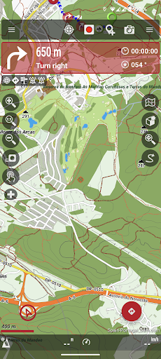
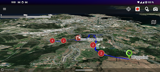
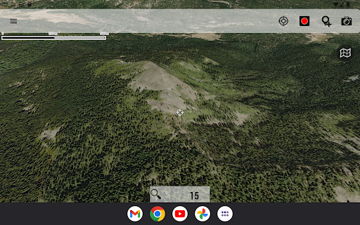
If you're passionate about outdoor exploration, OruxMaps GP offers an all-in-one solution that caters to both casual hikers and serious adventurers. Its ability to work offline, support for a myriad of map formats, and compatibility with external sensors make it an indispensable travel companion. Whether plotting routes beforehand or navigating in real-time, the app provides detailed topographic maps and satellite imagery that serve as an invaluable tool for navigation and planning.
Final Thoughts
For outdoor lovers seeking a robust, customizable, and reliable mapping app, OruxMaps GP stands out as a top choice. Its wide range of features—covering offline maps, route management, external sensor integration, and real-time tracking—ensures you won’t get lost and can maximize your outdoor experiences. If you are ready to elevate your adventures and explore new terrains with confidence, downloading OruxMaps GP might be the best step. Prepare to embark on your next journey equipped with this powerful digital navigation tool.
Pros
- Highly customizable settings.
- Supports offline maps.
- Wide range of map sources.
- Detailed GPS tracking features.
- Frequent updates and improvements.
Cons
- Steep learning curve.
- Limited user-friendly design.
- Some features require payment.
- Occasional GPS accuracy issues.
- Complex interface for beginners.