
Discover the Power of onX Hunt: Offline Hunting Maps
If you are passionate about hunting and outdoor adventures, the onX Hunt: Offline Hunting Maps app is an essential tool designed to elevate your experience in the field. Imagine having a comprehensive hunting assistant right in your pocket that helps you navigate, plan, and execute your hunts more effectively. Whether you're a seasoned hunter or just starting out, this app provides an array of features tailored to meet your needs and boost your success rate.
Seamless Navigation with Detailed Maps
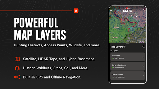
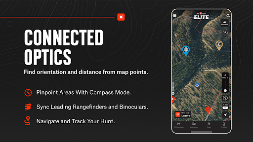
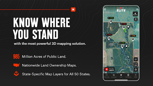
One of the standout features of onX Hunt is its extensive map capabilities. The app offers topo maps, satellite views, and hybrid basemaps that allow you to understand the terrain in detail. You can view 3D maps to get a realistic perspective of the landscape, helping you plan routes and identify key features. With the ability to toggle between different map layers, hunters can customize their view to focus on species distribution, landownership data, or wildlife management areas.
Land Ownership & Hunting Units
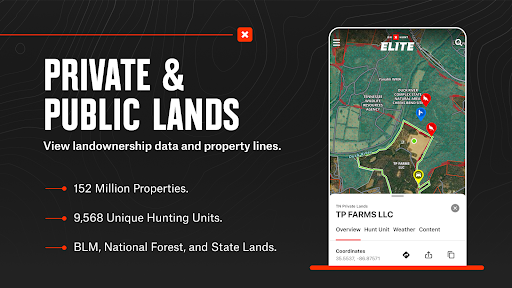
Knowing land boundaries is critical for a successful hunt. onX Hunt provides detailed public & private land boundaries maps, including landowner names for U.S. hunters. This information enables you to hunt with confidence, avoid trespassing, and discover new access points. Additionally, you can explore Hunting Units or GMUs to plan your trips across county, state, or national lands more efficiently.
Offline Maps & Custom Layers for Remote Hunting
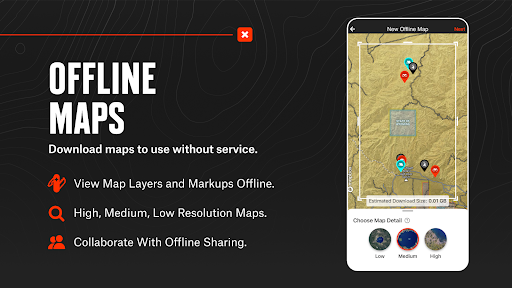
Prepare for remote adventures by downloading offline maps filled with your custom waypoints, markups, and layers. Whether you're hunting in areas with limited signal or planning offline scouting sessions, these maps ensure you stay connected to vital data without being dependent on cell service. Switch between 2D or 3D views or view supplementary layers such as weather, trees, crops, or soil data to better understand the environment.
Advanced Planning and Tracking Tools
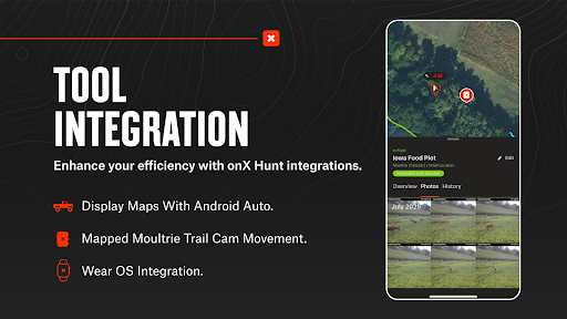
The app also functions as a comprehensive hunt planner & tracker. Connect your trail cameras like Moultrie directly to view real-time images, gaining valuable insight into wildlife movement. Measure distances between points with Line tools, or map routes and mark access points. Monitor your trip with GPS navigation, keeping track of total duration, distance, and speed—perfect for managing your hunt efficiently.
Weather & Wildlife Data Integration
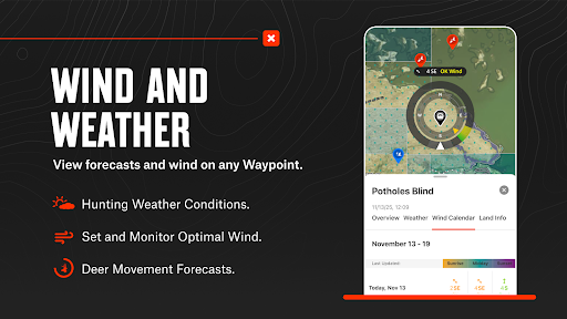
Weather conditions play a vital role in hunting success. onX Hunt provides real-time weather updates, including wind direction and speed, helping you plan your hunt accordingly. You can also access data on wildlife distribution, trees, crops, and soil types by switching between custom map layers. Additionally, features like Trail Cameras for recent activity and Wind Calendars for stand placement can improve your strategy.
Flexible Membership Options for Every Hunter
Start with a free trial upon installation, then choose from various membership plans to unlock premium features. The Premium Membership grants access to land maps, offline navigation, advanced tools, and more within one state or province. For those who hunt in multiple regions, Premium+ Membership covers two states or one state plus Canada. The top-tier Elite Nationwide Membership offers maps for all 50 states and Canada, with additional tools like TerrainX 3D Viewer, Route Builder, and in-dash navigation with Android Auto.
Reliable Data Sources & User Resources
onX Hunt sources data from trusted government agencies and environmental services, providing accurate boundaries and land info. Though onXmaps, Inc. does not represent any government entities, it offers links to official public data sources for your reference. This ensures you get reliable, up-to-date information on public lands, wildlife management areas, and landownership, improving your overall planning process.
Final Thoughts: Elevate Your Hunting Experience
In conclusion, onX Hunt is more than just a mapping app—it's a comprehensive hunting companion. Its offline maps, detailed land ownership boundaries, real-time weather updates, and custom layers make it an indispensable tool for hunters seeking to maximize their success. By empowering you to discover new access points, track wildlife activity, and plan smarter hunts, this app helps you hunt smarter, not harder. Whether you’re chasing deer, elk, turkeys, or waterfowl, onX Hunt offers the recon tools you need for a productive and enjoyable outdoor adventure.
Pros
- Accessible detailed topographic maps.
- Offline map availability in remote regions.
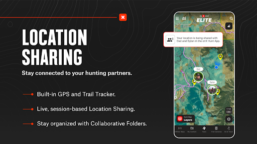
- Real-time sharing of location data.
- Ability to personalize waypoints and routes.
- Extensive information on public and private lands.
Cons
- Premium features available only through subscription.
- User interface may be complex for newcomers.
- Limited features in the free version.
- Potential battery consumption during extended usage.
- Certain maps need regular updates.