Introduction to GPS Photo: With Location & Map
In today's digital age, capturing moments with added context enhances the storytelling power of your photos. The GPS Photo: With Location & Map app offers an innovative way to embed precise location data directly into your images. Designed with travelers, adventurers, and photography enthusiasts in mind, this application transforms ordinary snapshots into rich, geotagged memories that tell a complete story of where and when each photo was taken.
Key Features of GPS Photo: With Location & Map
Advanced GPS Camera Photo Location
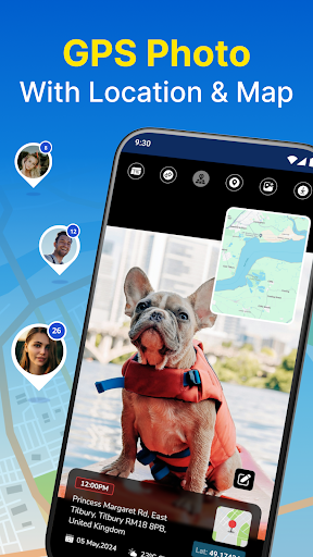
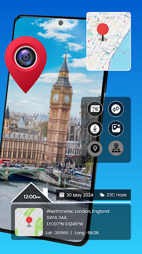
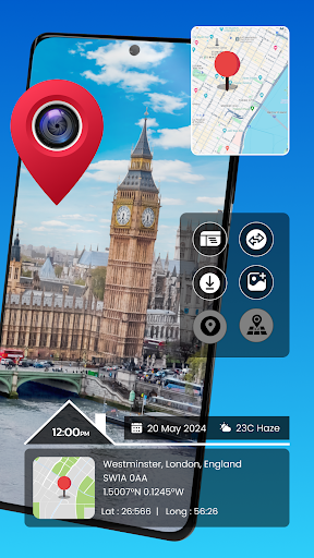
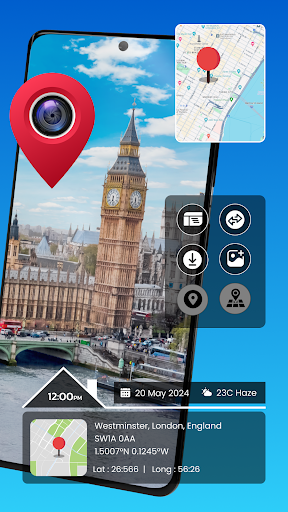
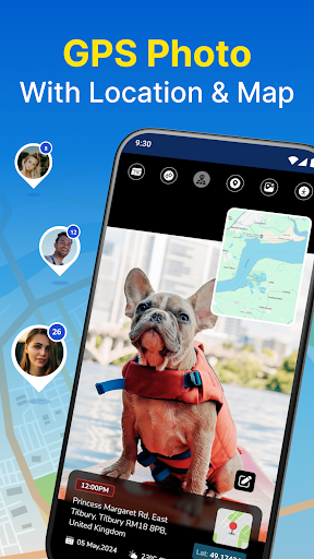
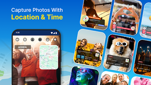
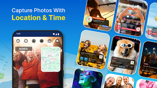
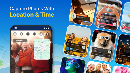
The core of the app enables you to capture photos with embedded location details such as latitude, longitude, and even weather conditions, ensuring every shot is enriched with contextual information. This allows for accurate geotagging and helps you relive your journeys with confidence.
Map View and Navigation
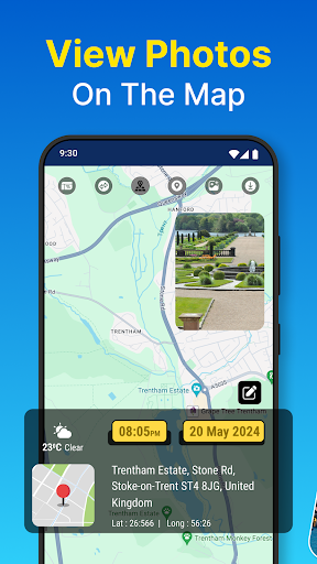
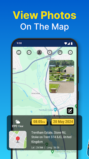
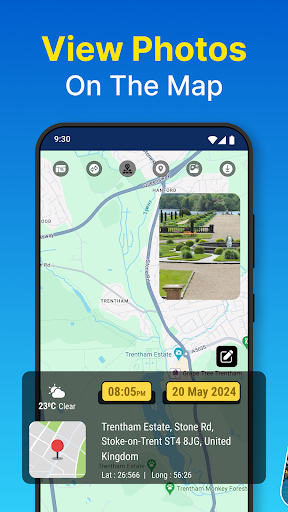
The Map View feature presents your photos geographically on an interactive map, offering an intuitive way to organize and browse your images based on their location. You can explore your gallery by zooming in and out, discovering where each memory was made, turning your photo collection into a visual travel diary.
Real-Time Capture with Timestamps
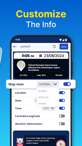
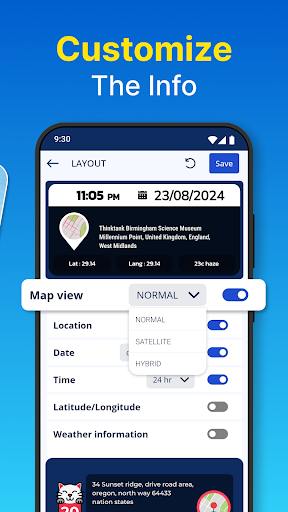
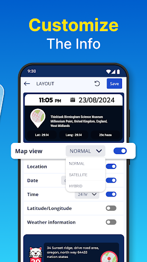
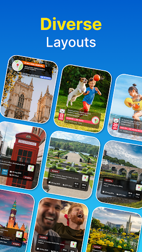
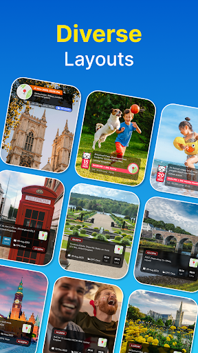
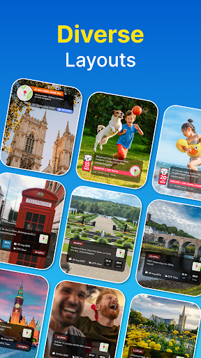
Capture images on the spot with timestamps and instantly embed geotags, making it easy to organize your photos by date and place. The app also allows you to add custom layouts and travel themes, further enhancing your images with creative travel-themed elements.
Album Organizer and Collage Maker
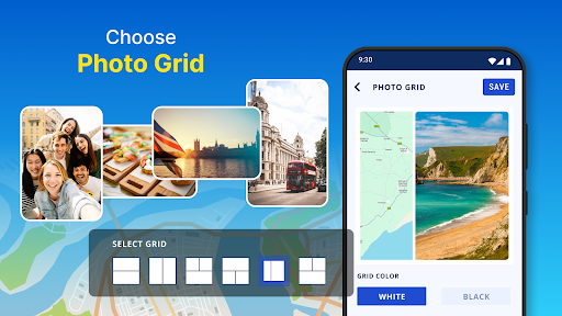
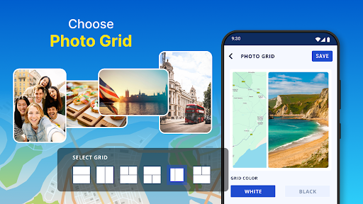
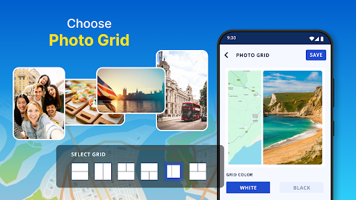
Effortlessly sort your photos by date and location using the Album Organizer. Want to create stunning collages? The app provides various grid designs and the ability to draw routes or add travel icons, making your photo collages more engaging and detailed.
Gallery Integration and Manual Edits
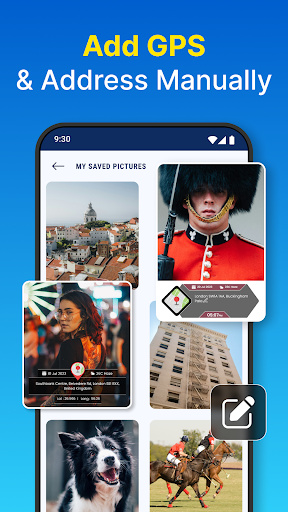
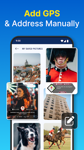
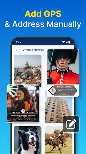
Import images from your gallery; if your photos already contain location data, the app retrieves it automatically. You can also add or modify details manually, ensuring every image has accurate location information along with a map view and address.
Interactive Map Browsing
The Interactive Map View allows you to browse all your geotagged photos geographically, providing a comprehensive overview of your travel routes and favorite spots. This feature helps you relive your adventures in a truly immersive way.
Permissions Needed
- Camera: To capture images with precise details
- Storage: To access and manage your photo gallery
- Location: To retrieve and display latitude, longitude, and current place on a map
Why Choose GPS Photo: With Location & Map?
This app is ideal for anyone who loves detailed organization of their digital memories. Whether you're documenting your travels, hikes, or daily outings, the geotagging features ensure your photos are always accompanied by meaningful location data. The user-friendly interface makes setup and navigation straightforward, even for those new to geotagging apps.
The ability to view your images on an interactive map adds a whole new dimension to your photo collection. It turns your gallery into a visual exploration of your past adventures, making it easier to find specific moments based on their geographical context. Plus, sharing geotagged photos directly to social media is seamless, perfect for travel bloggers and social media enthusiasts.
Creatively, you can enhance your images with custom layouts and travel-themed elements, elevating your photo presentations to professional levels. The collage feature, combined with route drawing and travel icons, allows you to craft compelling visual stories that capture your journey's essence. All these features combine to make the GPS Photo: With Location & Map app a versatile tool for organizing, sharing, and reliving your treasured memories.
Conclusion: Capture and Cherish with Precision
In summary, GPS Photo: With Location & Map elevates your photography experience by seamlessly integrating precise geolocation data with your images. Its intuitive design, coupled with robust features like real-time geotagging, interactive maps, and customizable layouts, makes it an indispensable app for travelers, explorers, and casual photographers alike. Download the app today and start transforming your memories into a detailed geographic story. With this powerful tool, every photo captures more than just a moment — it captures a place, an adventure, and a story worth preserving.
Pros
- Easy to label photos with GPS coordinates.
- Integrates smoothly with Google Maps.
- User-friendly interface for quick navigation.
- Supports high-resolution photo tagging.
- Allows offline access to tagged photos.
Cons
- Limited editing capabilities for photos.
- Consumes a lot of battery power.
- Occasional inaccuracies in GPS positioning.
- Ads may be intrusive in the free version.
- Requires a strong GPS signal for accuracy.